
Pencoed, town in Bridgend County Borough, Wales, United Kingdom
Location: Bridgend County Borough
GPS coordinates: 51.52280,-3.50474
Latest update: March 3, 2025 01:32

Church Of St Crallo
2.5 km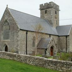
Church Of St Mary
3.3 km
Church of St Mary
2.2 km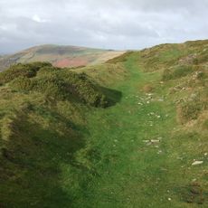
Mynydd y Gaer
3.9 km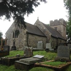
Church of SS Ilid and Curig
2.1 km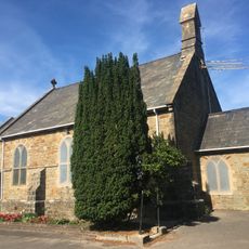
St David's Church
791 m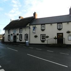
Star Inn
3.4 km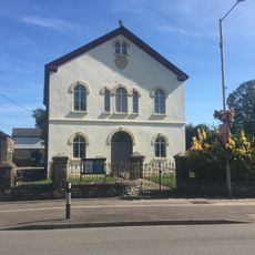
Salem Welsh Calvinisic Methodist Chapel
305 m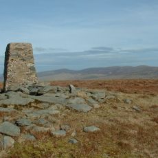
Cwm Llwyd
3.9 km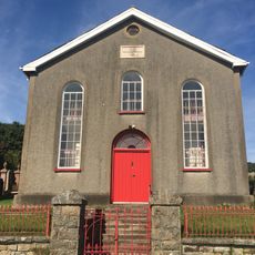
Zoar Calvinistic Methodist Chapel
3.2 km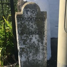
Milestone, Coychurch Road
534 m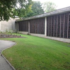
Coychurch Cemetery Capel Crallo And Capel Coity
2.8 km
Zoar Chapel Vestry
3.2 km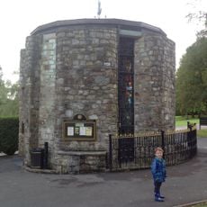
Coychurch Cemetery Chapel Of Remembrance
2.9 km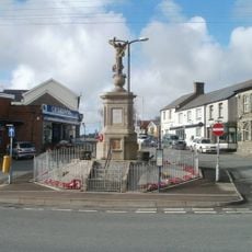
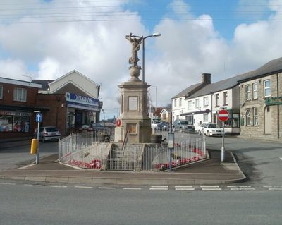
War Memorial and Railings
327 m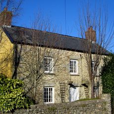
Treoes Farmhouse
3.4 km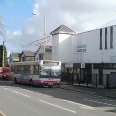
Pencoed Library
605 m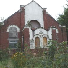
Bethany Calvinistic Methodist Chapel
3.7 km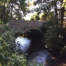
Bridge over Afon Ewenni
946 m
Ruthin English Calvinistic Methodist Chapel
2.4 km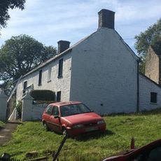
Wern Tarw and attached Cowhouse
3 km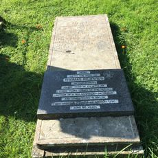
Tombstone of Thomas Richards in Coychurch churchyard
2.5 km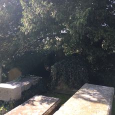
Group of 3 table tombs in Coychurch churchyard adjoining S porch
2.5 km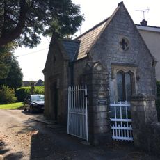
Brynffrwd Entrance and Lodge
2.8 km
Tŷ Mawr
2.8 km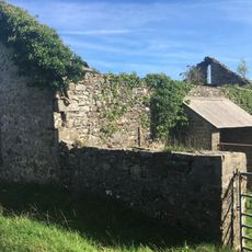
Barn at Wern Tarw
3 km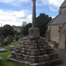
Churchyard Cross In Coychurch Churchyard
2.5 km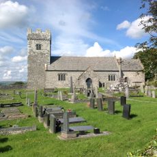
Churchyard Cross at Church of St Mary
2.2 kmVisited this place? Tap the stars to rate it and share your experience / photos with the community! Try now! You can cancel it anytime.
Discover hidden gems everywhere you go!
From secret cafés to breathtaking viewpoints, skip the crowded tourist spots and find places that match your style. Our app makes it easy with voice search, smart filtering, route optimization, and insider tips from travelers worldwide. Download now for the complete mobile experience.

A unique approach to discovering new places❞
— Le Figaro
All the places worth exploring❞
— France Info
A tailor-made excursion in just a few clicks❞
— 20 Minutes