
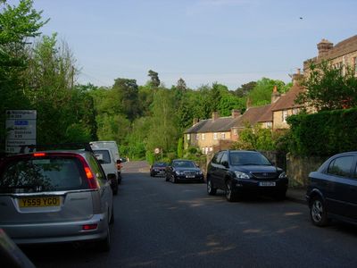
Limpsfield, village in Surrey, United Kingdom
Location: Tandridge
Shares border with: Woldingham
GPS coordinates: 51.26060,0.01190
Latest update: March 8, 2025 04:45
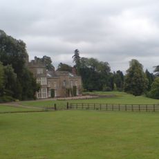
Titsey Place
1.9 km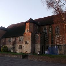
All Saints Church, Oxted
1.1 km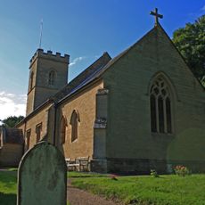
Holy Trinity Church, Crockham Hill
4.7 km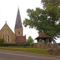
Church of St James the Greater
1.8 km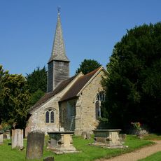
Church of St George
5.9 km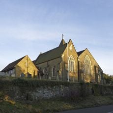
Church of St Peter
53 m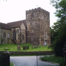
Church of St Mary the Virgin
1.4 km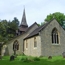
Church of St Peter
3.6 km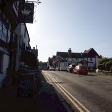
The Crown Inn
2.1 km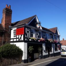
The George Inn
2.1 km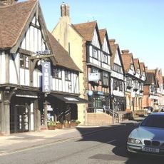
Everyman Oxted
1.3 km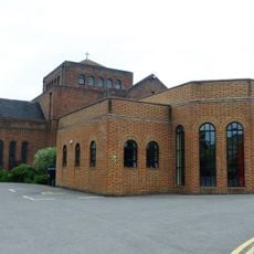
United Reformed Church and Attached Walls
1.1 km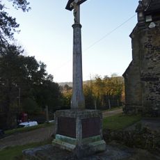
Limpsfield War Memorial
37 m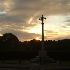
Oxted War Memorial Cross
1.4 km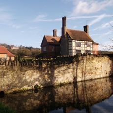
Tenchleys Manor
2.8 km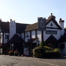
The Old Bell Inn
2.2 km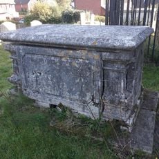
Whitelake Tomb 1 Yard East Of Chancel
1.4 km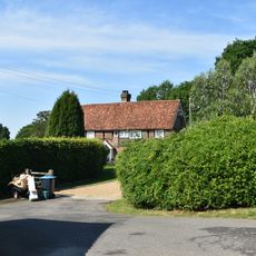
Sunt Farmhouse
4.7 km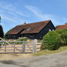
Sunt Barn
4.6 km
Foyle Farm House
4.3 km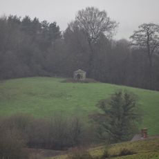
Gazebo About 330 Yards West Of Squerryes Court On Top Of Hill At Other Side Of Road
3.3 km
Stockenden
3.4 km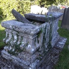
Chest Tomb 3 Yards North East Of Corner Of Chancel
1.4 km
Court Farm House
1.5 km
Barn And Oasthouse 15 Yards South Of Stocketts Manor
3.1 km
Milestone, half mile E of Oxted viaduct, 70m W of jct with Detillens Lane
697 m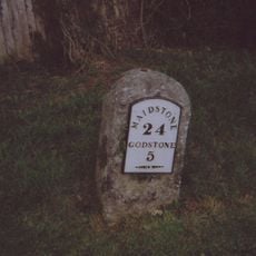
Milestone, Redwood, 400m E of village; by entrance to Redwood
1 km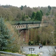
Oxted Viaduct
1.2 kmVisited this place? Tap the stars to rate it and share your experience / photos with the community! Try now! You can cancel it anytime.
Discover hidden gems everywhere you go!
From secret cafés to breathtaking viewpoints, skip the crowded tourist spots and find places that match your style. Our app makes it easy with voice search, smart filtering, route optimization, and insider tips from travelers worldwide. Download now for the complete mobile experience.

A unique approach to discovering new places❞
— Le Figaro
All the places worth exploring❞
— France Info
A tailor-made excursion in just a few clicks❞
— 20 Minutes