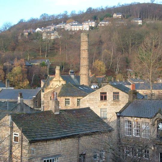
Hebden Royd, civil parish in West Yorkshire, England, UK
Location: Calderdale
Website: http://hebdenroyd.org.uk
GPS coordinates: 53.71296,-2.00191
Latest update: April 15, 2025 10:29
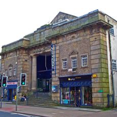
Hebden Bridge Picture House
3.2 km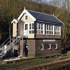
Hebden Bridge signal box
2.7 km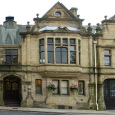
District Council Office
3.4 km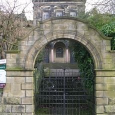
Birchcliffe Baptist Church
3.4 km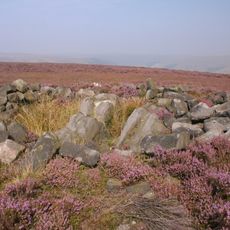
Cairn known as Millers Grave on Midgley Moor
4.7 km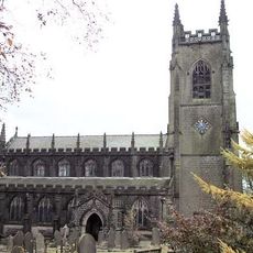
Parish Church of St Thomas, Heptonstall
4.2 km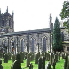
Church of St James
3.7 km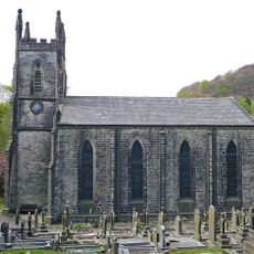
Church of St John
856 m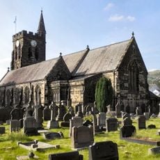
Church of St Michael
2.4 km
Church of St Mary
3.8 km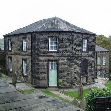
Wesleyan Methodist Chapel
4.3 km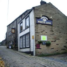
White Lion Public House
4.2 km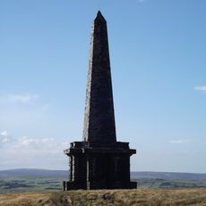
Stoodley Pike Monument
2.7 km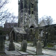
Parish Church of St Thomas A' Becket, Heptonstall
4.2 km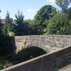
Hawks Clough Bridge
2.4 km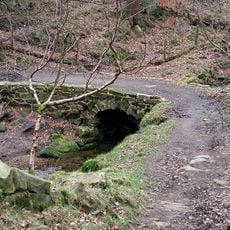
Bridge Over Stream
2.8 km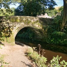
Rochdale Canal Bridge At Burnt Acres Wood Bottom
3.6 km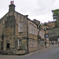
White Lion Public House
3.3 km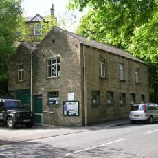
Mytholmroyd Library
1.7 km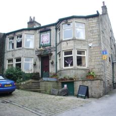
Cross Inn
4.2 km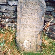
Guide Post At Se 015270 20 Metres To West Of Rough Bottom
3.4 km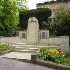
Birchcliffe War Memorial
3.4 km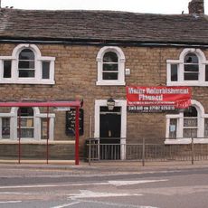
The Dusty Miller Public House And Attached Barn
2.4 km
Cruttonstall
3.2 km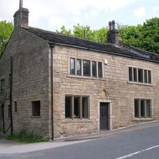
Huntsman Cottage
2.7 km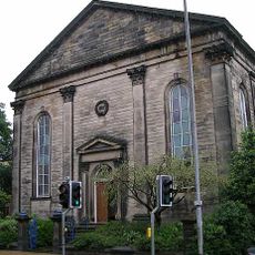
Hope Baptist Church With Integral Sunday School
3.2 km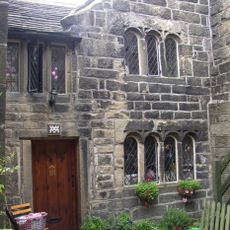
Stag Cottage and basement lock up
4.2 km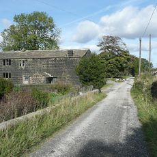
Cottage And Outbuilding 25 Metres To North Of Erringden Grange Farmhouse And Attached Cart Shed
2.4 kmReviews
Visited this place? Tap the stars to rate it and share your experience / photos with the community! Try now! You can cancel it anytime.
Discover hidden gems everywhere you go!
From secret cafés to breathtaking viewpoints, skip the crowded tourist spots and find places that match your style. Our app makes it easy with voice search, smart filtering, route optimization, and insider tips from travelers worldwide. Download now for the complete mobile experience.

A unique approach to discovering new places❞
— Le Figaro
All the places worth exploring❞
— France Info
A tailor-made excursion in just a few clicks❞
— 20 Minutes
