
Garford, village and civil parish in Vale of White Horse district, Oxfordshire, England
Location: Vale of White Horse
Shares border with: East Hanney, Marcham, Frilford, Fyfield and Tubney, Kingston Bagpuize with Southmoor, West Hanney, Lyford
GPS coordinates: 51.66200,-1.38200
Latest update: March 3, 2025 03:06
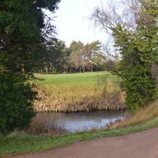
Frilford Heath, Ponds and Fens
2.6 km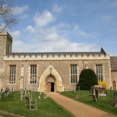
Church of All Saints, Marcham
2.5 km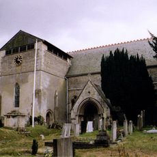
Church of St James, West Hanney
4 km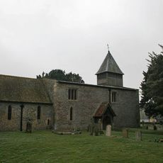
Church of St Mary
4.3 km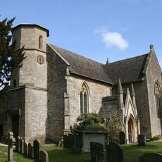
Church of St Nicholas
2.9 km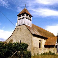
Church of St Luke
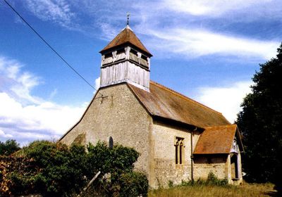
222 m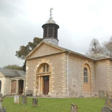
Church of St John the Baptist
2.9 km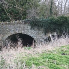
Bridge approximately 50 metres south east of Marcham Mill
3 km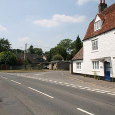
The White Hart Public House
2.5 km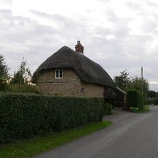
The Thatch Cottage, At Su 3920 9418
4.1 km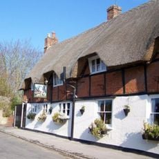
The Plough Public House
4 km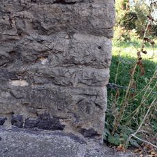
Venn Mill
1.2 km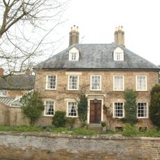
Manor Farmhouse
2.8 km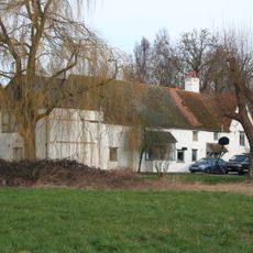
Marcham Mill
2.9 km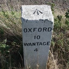
Milestone At Su 4230 9357
2.6 km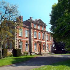
Kingston House
2.8 km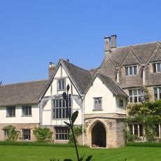
The Manor House
2.9 km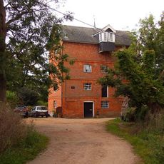
Mill Approximately 10 Metres South East Of Old Mill House
3.8 km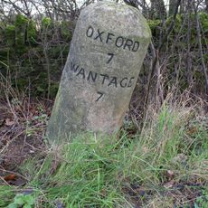
Milestone At Su 4445 9785
2.4 km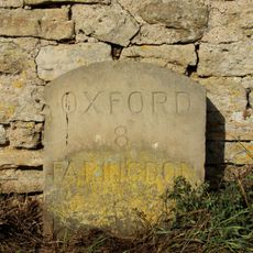
Milestone Approximately 28 Metres West South West Of Crossways
2.7 km
Frilford Garford and Marcham War Memorial
2.6 km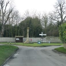
Village Cross
3.8 km
Marcham Priory
2.8 km
Venn Mill House And Attached Outbuildings
1.2 km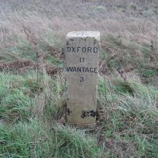
Milestone At Su 4152 9217
4.1 km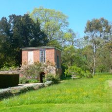
Gazebo, Terrace Walls, Gates, Gatepiers And Wall Approximately 74 Metres North West Of Kingston House
2.8 km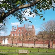
West Hanney House And Attached Archways
3.9 km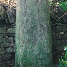
Milestone, Tubney Farm, opp. church turn
2.7 kmVisited this place? Tap the stars to rate it and share your experience / photos with the community! Try now! You can cancel it anytime.
Discover hidden gems everywhere you go!
From secret cafés to breathtaking viewpoints, skip the crowded tourist spots and find places that match your style. Our app makes it easy with voice search, smart filtering, route optimization, and insider tips from travelers worldwide. Download now for the complete mobile experience.

A unique approach to discovering new places❞
— Le Figaro
All the places worth exploring❞
— France Info
A tailor-made excursion in just a few clicks❞
— 20 Minutes