
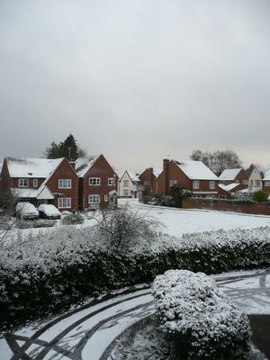
Liss, village and civil parish in Hampshire, England, UK
Location: East Hampshire
Elevation above the sea: 15 m
Website: https://lissparishcouncil.gov.uk
GPS coordinates: 51.04278,-0.89194
Latest update: March 3, 2025 13:44
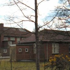
Bordon and Longmoor Military Camps
3.7 km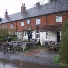
The Harrow
3.7 km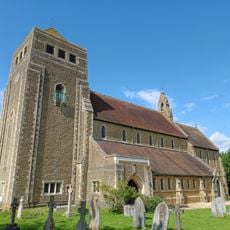
Church of St Mary
386 m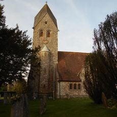
Church of St Peter and St Paul
3.5 km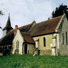
Church of the Holy Rood
4.4 km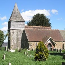
Church of St Peter
1.3 km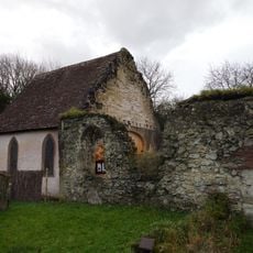
Old Church of St John
2.7 km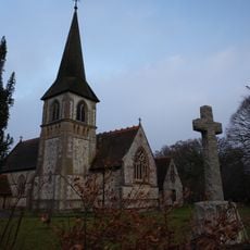
Church of St John the Baptist
2.8 km
Church of All Saints
4 km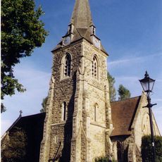
Church of St Mary Magdalene
3.6 km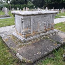
Table Tomb 3 Metres South Of The Church
1.2 km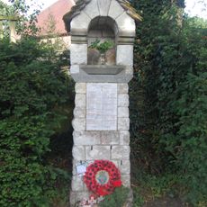
War Memorial on the Corner of Mill Lane and Church Road
4.3 km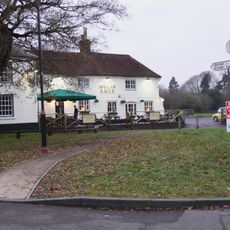
Spread Eagle Public House
1.1 km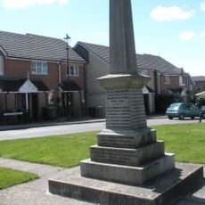
Liss War Memorial
107 m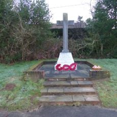
Rake War Memorial
2.6 km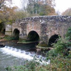
Durford Bridge
4.4 km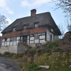
Mabbotts Farmhouse
3.5 km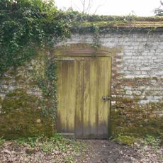
Kitchen Garden Wall Extending Eastwards From The Coach House
4.2 km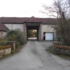
Gateway To Ashford Chase
4 km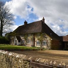
Parsons Piece
3.6 km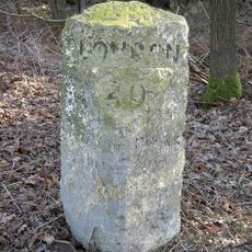
Milestone On South Side Of The B2070 London Road, Immediately East Of Entrance To Sussex Gate
1.9 km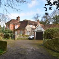
Hill Place
4.3 km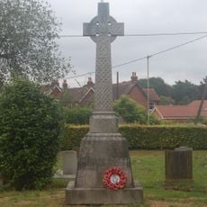
Liss WWI Memorial
388 m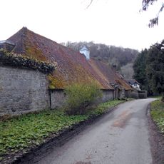
Coachhouse To Old Ashford Manor
4.2 km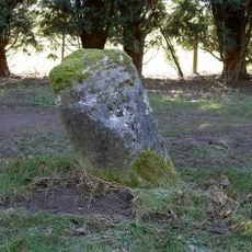
Milestone, Coldharbour Park Farm
3.1 km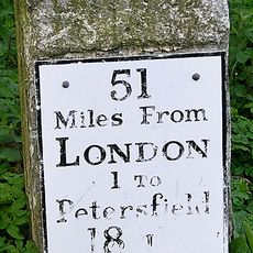
Milestone, London Road, by No. 21, E of roundabout
4 km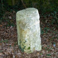
Milestone, London Road, Highfield Wood; by 'Milestone' house
1.9 km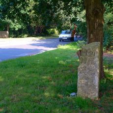
Milestone, The Shrubs
1.8 kmVisited this place? Tap the stars to rate it and share your experience / photos with the community! Try now! You can cancel it anytime.
Discover hidden gems everywhere you go!
From secret cafés to breathtaking viewpoints, skip the crowded tourist spots and find places that match your style. Our app makes it easy with voice search, smart filtering, route optimization, and insider tips from travelers worldwide. Download now for the complete mobile experience.

A unique approach to discovering new places❞
— Le Figaro
All the places worth exploring❞
— France Info
A tailor-made excursion in just a few clicks❞
— 20 Minutes