
Botusfleming, village and civil parish in Cornwall, England, UK
Location: Cornwall
Elevation above the sea: 50.2 m
GPS coordinates: 50.43000,-4.24800
Latest update: March 23, 2025 05:41
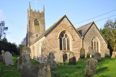
Church of St Stephen
3.2 km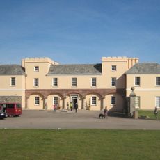
Pentillie
3.3 km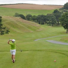
St. Mellion International Resort
5 km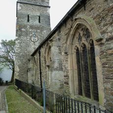
Parish Church of St Nicholas and St Faith
3.7 km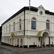
Saltash Guildhall
3.7 km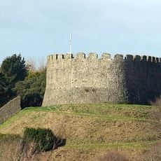
Trematon Castle
3.4 km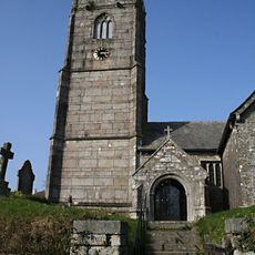
Church of St Mellanus
4.5 km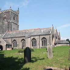
Church of St Leonard and St Dilp
2.7 km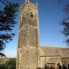
Church of St Michael
3.1 km
Church of St Odulphus
4.8 km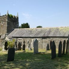
Church of St Terminus
4 km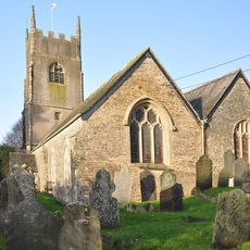
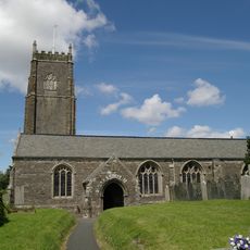
Church of St Mary
32 m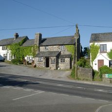
Coryton Arms Excluding Extension On Left Hand Gable End
4.5 km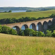
Forder Viaduct
3.8 km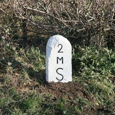
Milestone Near Withy Cross
1.6 km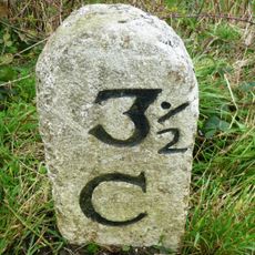
Milestone To East Of The Glebe
4.3 km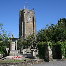
St Stephens by Saltash War Memorial
3.2 km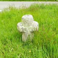
Trehan Cross, at Trehan village
3.2 km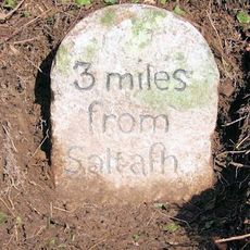
Milestone To East Of Notter Bridge
1.9 km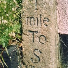
Milestone At Burraton Cross
2 km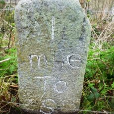
Milestone At Ngr Sx4211259431
2.5 km
Milestone At Sx 366 633
4.3 km
Milestone To South East Of Carkeel
1.2 km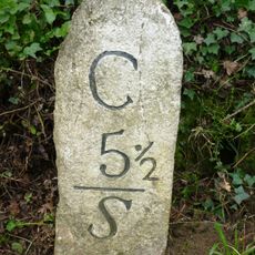
Milestone North Of Hatt (Ngr Sx3987662632)
1.4 km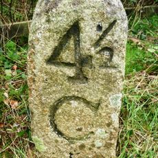
Milestone At Paynters Cross
2.9 km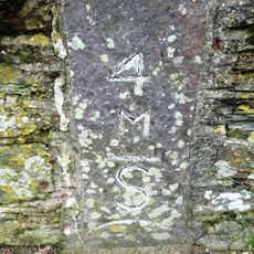
Milestone
3.3 km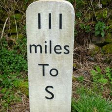
Milestone, Botus Fleming, Callington Road, NW of Carkeel, S of Hatt
717 m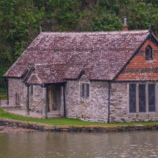
Bathing House At Pentillie Quay And Quay
3.4 kmVisited this place? Tap the stars to rate it and share your experience / photos with the community! Try now! You can cancel it anytime.
Discover hidden gems everywhere you go!
From secret cafés to breathtaking viewpoints, skip the crowded tourist spots and find places that match your style. Our app makes it easy with voice search, smart filtering, route optimization, and insider tips from travelers worldwide. Download now for the complete mobile experience.

A unique approach to discovering new places❞
— Le Figaro
All the places worth exploring❞
— France Info
A tailor-made excursion in just a few clicks❞
— 20 Minutes