
Crosscrake, village in Cumbria, United Kingdom
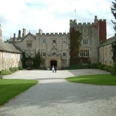
Sizergh Castle
2.8 km
Sedgwick House
1.5 km
St Mark's Church, Natland
2.2 km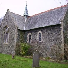
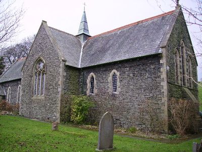
St Thomas' Church, Crosscrake
146 m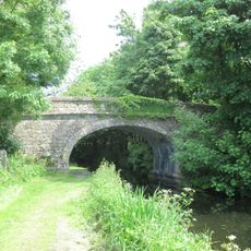
Field End Bridge Over Kendal Lancaster Canal Ngr 5259 8499
2.1 km
Horse Park Bridge Over Lancaster/Kendal Canal
1.1 km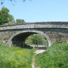
Stainton Crossing Bridge Over Kendal Lancaster Canal Ngr 5205 8543
1.7 km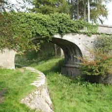
Larkrigg Hall Bridge Over Lancaster/Kendal Canal
1.6 km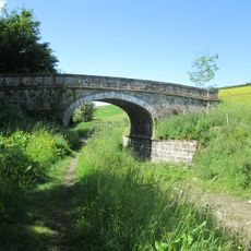
Lancaster Kendal Canal, Sellet Hall Bridge Over Lancaster/Kendal Canal
1.8 km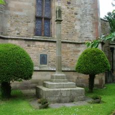
Natland War Memorial
2.2 km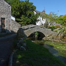
Packhorse bridge at Stainton
1.2 km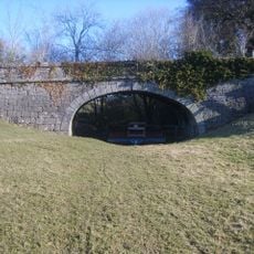
Lancaster Kendal Canal, Sedgwick Hill Bridge Over Lancaster/Kendal Canal
1.5 km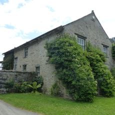
House and outbuildings forming north side courtyard south west of Sizergh Castle
2.8 km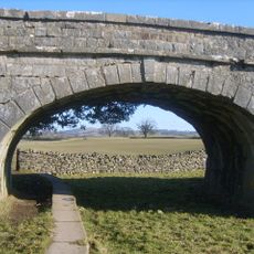
Lancaster Kendal Canal, Natland Hall Bridge Over Lancaster Kendal Canal
2.6 km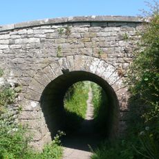
Accommodation Bridge Over Sunken Horse Path 100 Yds East-South-East Of West Portal Of Hincaster Tunnel
2.5 km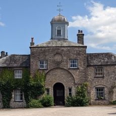
Stables and attached barn to south west of Sizergh Castle
2.8 km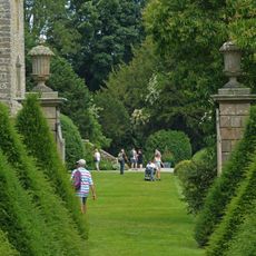
Garden wall, gatepiers and summer house to south of Sizergh Castle
2.8 km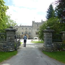
Walls, Gate Piers, Fencing And Gates To West Of Sizergh Castle
2.8 km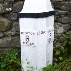
Milestone Approximately 250 Yards North Of Punch Bowl Public House
1.3 km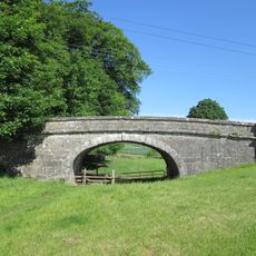
Lancaster Kendal Canal, Crowpark Bridge Over Lancaster/Kendal Canal
2.2 km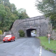
Sedgwick aqueduct
1.2 km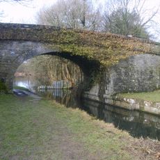
Stainton Bridge End Bridge Over Kendal Lancaster Canal Ngr 5242 8526
1.8 km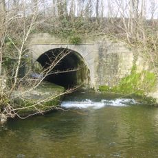
Stainton Aqueduct carrying Kendal/Lancaster Canal over Stainton Beck and public footpath NGR5226 8542
1.7 km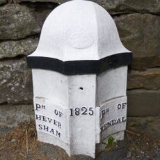
Boundary Post Approximately 200 Yards North Of Punch Bowl Public House
1.3 km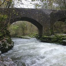
Hawes Bridge
2.4 km
West Portal To Hincaster Tunnel
2.5 km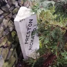
Boundary Stone Approximately 30 Yards North West Of Storth End Farmhouse Near Summerlands
893 m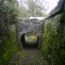
Railway Arch Over Sunken Horse Path And Retaining Walls To South West Of East Portal In Hincaster Tunnel
2.3 kmVisited this place? Tap the stars to rate it and share your experience / photos with the community! Try now! You can cancel it anytime.
Discover hidden gems everywhere you go!
From secret cafés to breathtaking viewpoints, skip the crowded tourist spots and find places that match your style. Our app makes it easy with voice search, smart filtering, route optimization, and insider tips from travelers worldwide. Download now for the complete mobile experience.

A unique approach to discovering new places❞
— Le Figaro
All the places worth exploring❞
— France Info
A tailor-made excursion in just a few clicks❞
— 20 Minutes