
Colehill, village and civil parish in Dorset, United Kingdom
Location: Dorset
Website: https://colehill.gov.uk
GPS coordinates: 50.80000,-1.96667
Latest update: March 15, 2025 23:19

Wimborne Minster
1.5 km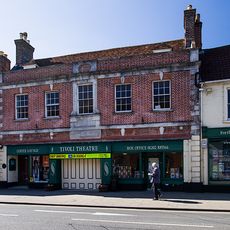
Tivoli Theatre
1.6 km
Lady Wimborne Bridge
1.2 km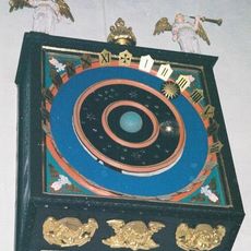
Wimborne Minster astronomical clock
1.5 km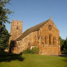
Canford Magna Parish Church
1.4 km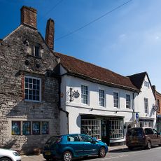
Priest's House Museum
1.5 km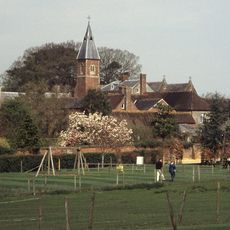
Stapehill Abbey
3 km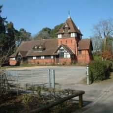
Church of St Michael and All Angels
1.2 km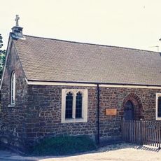
Chapel Of St Margaret And St Anthony
2.1 km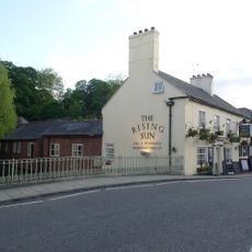
The Rising Sun
1.4 km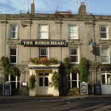
The King's Head Hotel
1.5 km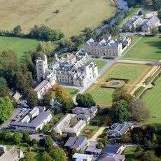
Canford House
1.5 km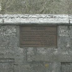
Canford Bridge
1.1 km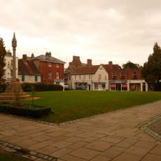
Wimborne Minster War Memorial
1.5 km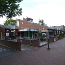
Wimborne Library
1.4 km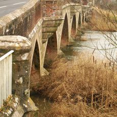
Julian's Bridge
2.1 km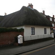
Turnpike Cottage
1.2 km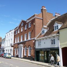
Wimborne Conservative Club
1.5 km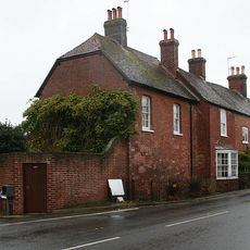
63, West Borough
1.6 km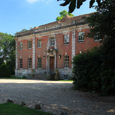
Dean's Court
1.5 km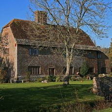
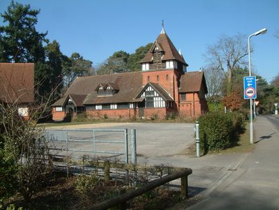
Old Manor Farmhouse
281 m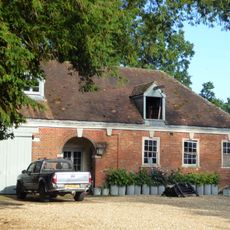
Stable Block To West Of Dean's Court
1.5 km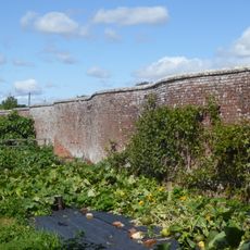
Garden Wall To North-West Of Dean's Court
1.6 km
Bridge Over River Allen
1.3 km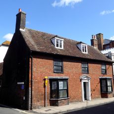
House adjoining King's Head Hotel
1.6 km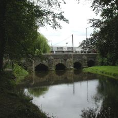
Walford Bridge
1.6 km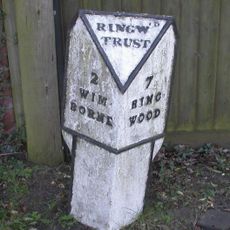
Milepost, Wimborne Road, E of bypass roundabout; by No. 210/212
2.4 km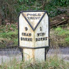
Milepost, Wimborne, 150m S of turning to Furzehill
2 kmVisited this place? Tap the stars to rate it and share your experience / photos with the community! Try now! You can cancel it anytime.
Discover hidden gems everywhere you go!
From secret cafés to breathtaking viewpoints, skip the crowded tourist spots and find places that match your style. Our app makes it easy with voice search, smart filtering, route optimization, and insider tips from travelers worldwide. Download now for the complete mobile experience.

A unique approach to discovering new places❞
— Le Figaro
All the places worth exploring❞
— France Info
A tailor-made excursion in just a few clicks❞
— 20 Minutes