
Horningtoft, human settlement in United Kingdom
Location: Breckland
Website: http://horningtoft.org.uk/parishcouncil.html
GPS coordinates: 52.77100,0.86800
Latest update: March 23, 2025 05:15
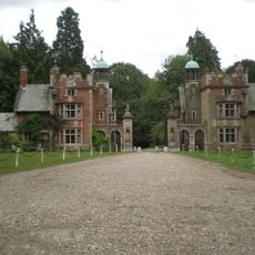
Sennowe Hall
5.2 km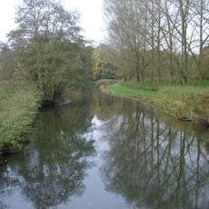
River Wensum SSSI
2.7 km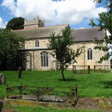
Church of St John the Baptist
3.8 km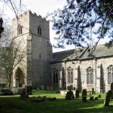
Church of St Mary
3.9 km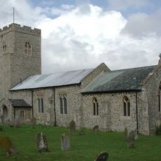
Church of St Helen
2.8 km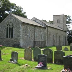
Church of St Margaret
2.4 km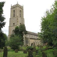
Church of St Bartholomew
2.2 km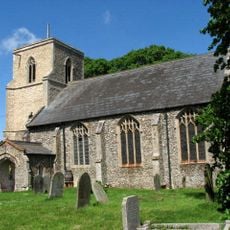
Church of St Mary
4.5 km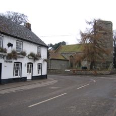
Church of St Andrew
4.9 km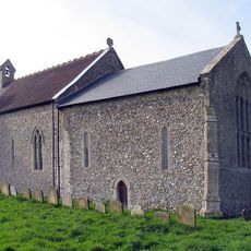
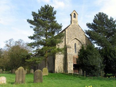
Church of St Edmund
60 m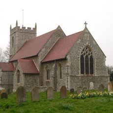
Church of St Mary
4.1 km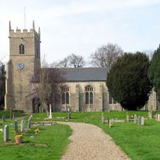
Church of St Mary
1.7 km
Church of St Remigius
3.7 km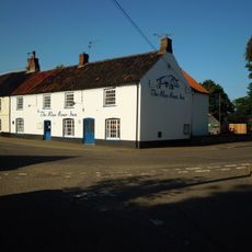
The Boar Inn
4.9 km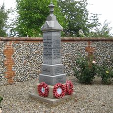
Great Ryburgh War Memorial
4.9 km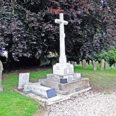
Whissonett War Memorial
1.7 km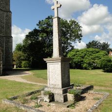
Brisley War Memorial
2.2 km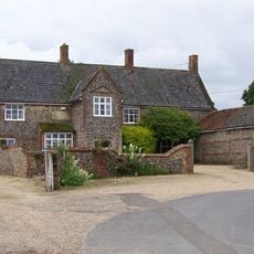
Hall Farmhouse
3.7 km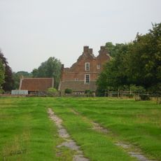
Gateley Hall
2.4 km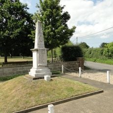
Colkirk War Memorial
3.7 km
Animal pound at junction of Greatheath Road and Holt Road
5.2 km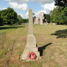
East Bilney War Memorial
4.1 km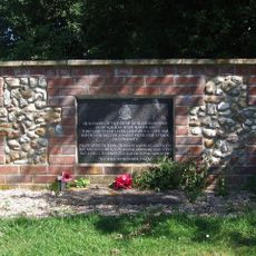
No. 114 Squadron RAF Memorial, Brisley
2.1 km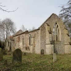
Remains To Church Of All Saints
3.4 km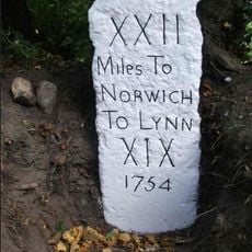
Milestone, by Mileham Old Rectory
3.7 km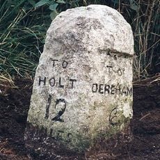
Milestone, opp. No.7, 10yds N of telephone box on E
5 km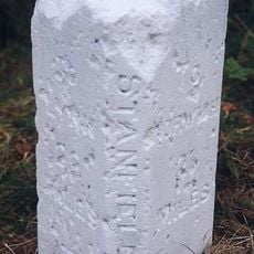
Milestone, 170yds E of footpath
2.9 km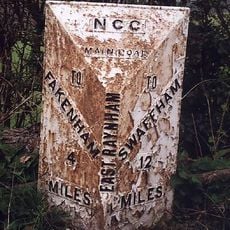
Milepost, 70yds S of farm track and pillbox
5.2 kmVisited this place? Tap the stars to rate it and share your experience / photos with the community! Try now! You can cancel it anytime.
Discover hidden gems everywhere you go!
From secret cafés to breathtaking viewpoints, skip the crowded tourist spots and find places that match your style. Our app makes it easy with voice search, smart filtering, route optimization, and insider tips from travelers worldwide. Download now for the complete mobile experience.

A unique approach to discovering new places❞
— Le Figaro
All the places worth exploring❞
— France Info
A tailor-made excursion in just a few clicks❞
— 20 Minutes