
Hanmer, village in United Kingdom on the border of Wales at Whitchurch, Shropshire
Location: Wrexham County Borough
GPS coordinates: 52.95130,-2.81244
Latest update: March 3, 2025 05:03

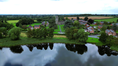
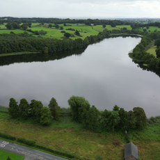
Hanmer Mere
473 m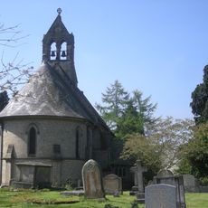
St Michael and All Angels' Church, Welshampton
5 km
St John's Church, Threapwood
5.9 km
The Gelli
4.3 km
Tudor Court, Penley
4.4 km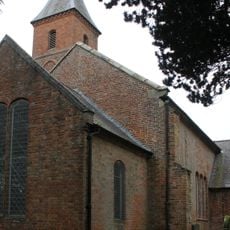
Church of the Holy Trinity
3.6 km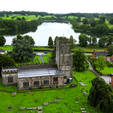
Church Of St Chad, Hanmer
113 m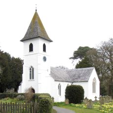
St Mary's Church
4.4 km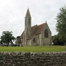
St John the Baptist's Church
3.7 km
Church of St Mary Magdelene
4.6 km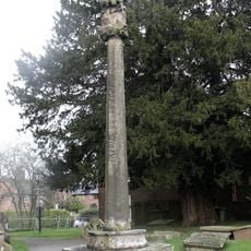
Hanmer Churchyard Cross
101 m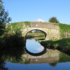
Cornhill Bridge
4.2 km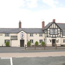
Dymock Arms
3.5 km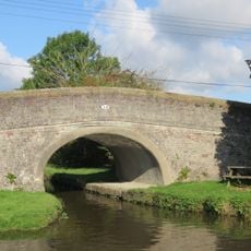
Bettisfield Bridge
4.1 km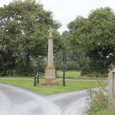
Bronington war memorial
3.6 km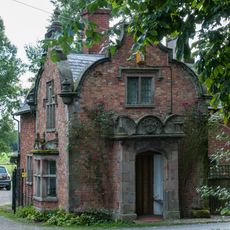
Emral Hall Lodge
6.4 km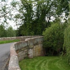
Sarn Bridge
5.3 km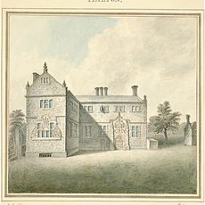
Halghton Hall
4.8 km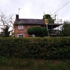
Pandy Holding
4.7 km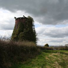
Windmill 130 yards east Of Mill House
5.7 km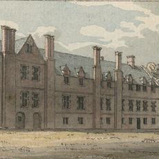
Bettisfield Hall
3.7 km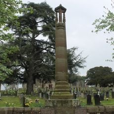
Hanmer War Memorial
91 m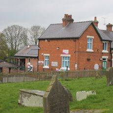
Hanmer Voluntary Primary School
156 m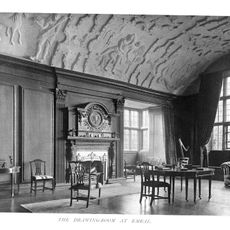
Emral Hall
5.7 km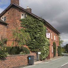
Hanmer Arms
175 m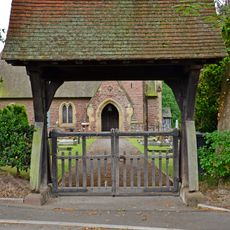
Lychgate to Church of Saint Mary Magdalene
4.7 km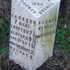
Milepost, S of Upper Wood Farm
5.6 km
Milestone, Balmer Heath
5 kmVisited this place? Tap the stars to rate it and share your experience / photos with the community! Try now! You can cancel it anytime.
Discover hidden gems everywhere you go!
From secret cafés to breathtaking viewpoints, skip the crowded tourist spots and find places that match your style. Our app makes it easy with voice search, smart filtering, route optimization, and insider tips from travelers worldwide. Download now for the complete mobile experience.

A unique approach to discovering new places❞
— Le Figaro
All the places worth exploring❞
— France Info
A tailor-made excursion in just a few clicks❞
— 20 Minutes