
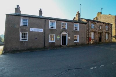
King's House, Slaidburn, Grade II listed youth hostel in Slaidburn, England.
King's House is a Grade II listed stone building in Slaidburn that now operates as a hostel offering dormitory beds and private rooms for visitors. The structure displays two storeys at the front with rendered walls and sandstone trim, with a single-storey extension added at the rear.
The building originally served as the Black Bull public house until 1932, when the Youth Hostels Association converted it into lodging for travelers. This transformation marked a shift in purpose as the building began serving young people exploring rural areas.
The name comes from the King family, who once owned much of the village and whose descendants still hold property here today. This connection to the local past remains woven into the village identity.
The hostel provides dormitory beds and private rooms along with shared kitchens and common areas for guests exploring the Forest of Bowland region. With flexible sleeping options and social spaces, it works well for both solo travelers and groups looking to meet other visitors.
The yard contains historical elements like original paving stones and specialized stone blocks that were once used for wheel maintenance. These practical details offer a glimpse into how the space functioned in earlier centuries.
Location: Slaidburn
Operator: YHA
GPS coordinates: 53.96674,-2.44136
Latest update: December 14, 2025 17:03
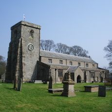
St Andrew's Church, Slaidburn
312 m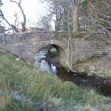
Giddy Bridge
4.1 km
13 and 15, Church Street
61 m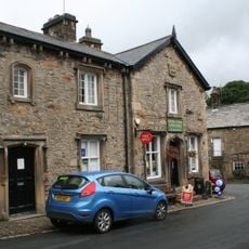
The Hark To Bounty
28 m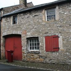
12, Church Street
43 m
8, Church Street
31 m
Old Bridge
119 m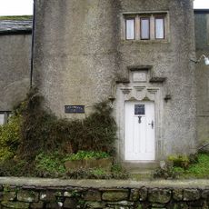
Ellerbeck Hall
1.2 km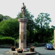
Slaidburn War Memorial
48 m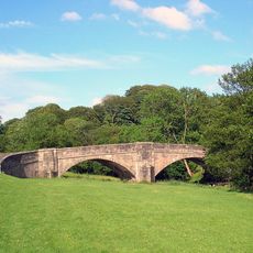
New Bridge
304 m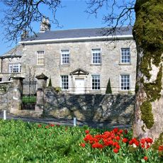
Newton Hall
2.4 km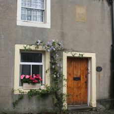
Highcross
37 m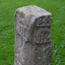
Cross shaft, 2 metres north of tower, Church of St. Andrew
311 m
Harrop Hall
2.7 km
Duckmire Farmhouse And Barn Adjoining To West
77 m
Hammerton Hall
1.6 km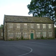
Brennand's Endowed School
274 m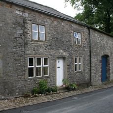
Number 19 And Barn Adjoining To South
76 m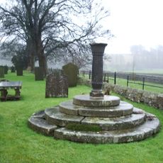
Sundial, 40 Metres South Of Tower, St Andrew's Churchyard
360 m
Cross Base At Cross Gates
1.6 km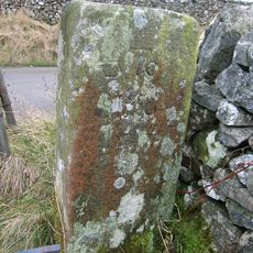
Guidepost, 50 Metres North West Of Harrisons
1.7 km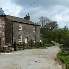
Lower Birkett Farmhouse
4.3 km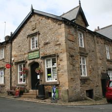
Number 2 And Shop (Central Stores) Adjoining To North
19 m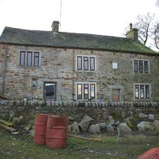
Standridge Farmhouse And Farm Building Adjoining To South
2.7 km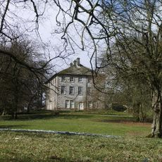
Townhead
268 m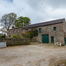
Higher Birkett Farmhouse and buildings adjoining to the east
4.4 km
Guidestone, ExYW SE of Slaidburn
4.5 km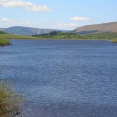
Stocks Reservoir
3.7 kmVisited this place? Tap the stars to rate it and share your experience / photos with the community! Try now! You can cancel it anytime.
Discover hidden gems everywhere you go!
From secret cafés to breathtaking viewpoints, skip the crowded tourist spots and find places that match your style. Our app makes it easy with voice search, smart filtering, route optimization, and insider tips from travelers worldwide. Download now for the complete mobile experience.

A unique approach to discovering new places❞
— Le Figaro
All the places worth exploring❞
— France Info
A tailor-made excursion in just a few clicks❞
— 20 Minutes