
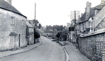
King's Cliffe, village and civil parish in Northamptonshire, England
Location: North Northamptonshire
Website: http://pc.kingscliffe.net
GPS coordinates: 52.56600,-0.51900
Latest update: March 11, 2025 05:23
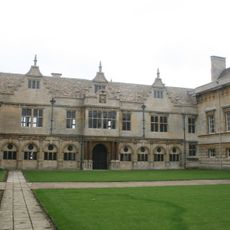
Apethorpe Hall
2.7 km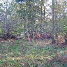
Collyweston Great Wood and Easton Hornstocks
3.2 km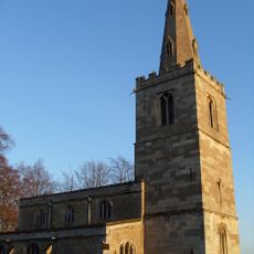
St Leonard's Church, Apethorpe
2.7 km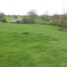
King's Cliffe Banks
973 m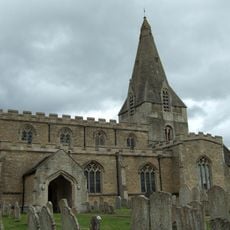
Church of All Saints
470 m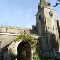
Church of St Mary
3.8 km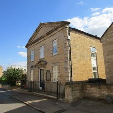
Kings Cliffe Congregational Church
296 m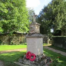
Duddington War Memorial
3.8 km
4, Park Street
409 m
62, Park Street
404 m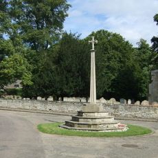
Apethorpe War Memorial
2.7 km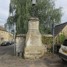
Monument And Attached Lamp Post Approximately 15 Metres East Of Number 2 Hall Yard
446 m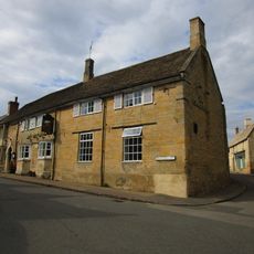
Cross Keys Public House
421 m
30, West Street
314 m
Kings Cliffe House
302 m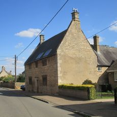
63, West Street
370 m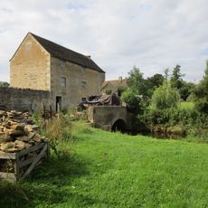
Kings Cliffe Mill (Parish Hall)
571 m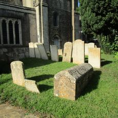
Chest Tomb And Headstone Approximately 5 Metres South East Of South Porch Of Church Of St Mary
3.8 km
Number 28 And Attached Steps
310 m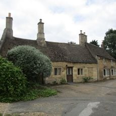
Pleasant View
301 m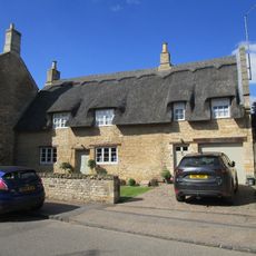
52, West Street
265 m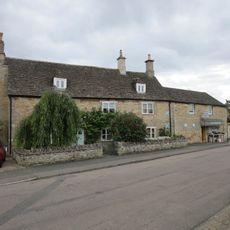
Boscobel
338 m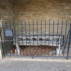
Stocks, Whipping Post And Attached Shelter Approximately 30 Metres North West Of Church Of St Leonard
2.7 km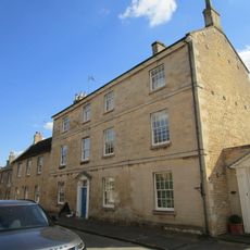
Number 41 And Attached Shop
289 m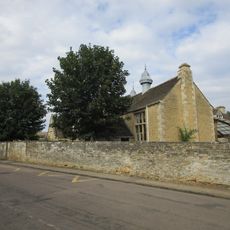
Kings Cliffe Endowed Primary School
386 m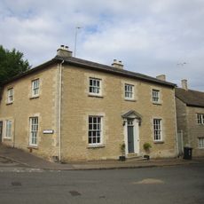
1, Bridge Street
443 m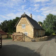
1 and 2, Bridge Street
2.6 km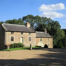
Blatherwycke Mill
2.5 kmVisited this place? Tap the stars to rate it and share your experience / photos with the community! Try now! You can cancel it anytime.
Discover hidden gems everywhere you go!
From secret cafés to breathtaking viewpoints, skip the crowded tourist spots and find places that match your style. Our app makes it easy with voice search, smart filtering, route optimization, and insider tips from travelers worldwide. Download now for the complete mobile experience.

A unique approach to discovering new places❞
— Le Figaro
All the places worth exploring❞
— France Info
A tailor-made excursion in just a few clicks❞
— 20 Minutes