
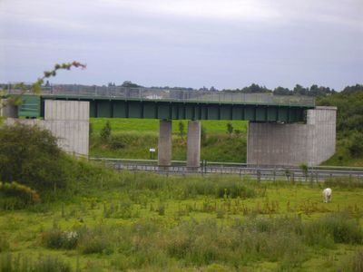
Lichfield Canal Aqueduct, unused aqueduct over the M6 Toll in Lichfield, England
Location: Walsall
Website: http://lhcrt.org.uk/aqueduct.htm
GPS coordinates: 52.65520,-1.90160
Latest update: May 4, 2025 02:12
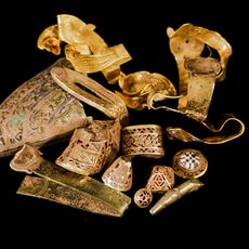
Staffordshire Hoard
342 m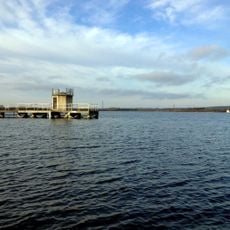
Chasewater
2.9 km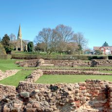
Letocetum
3.1 km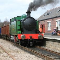
Chasewater Railway
3.8 km
Maple Hayes
4.3 km
Jockey Fields
4.3 km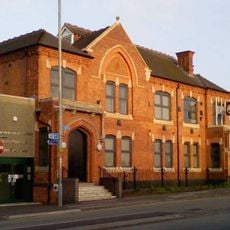
Council House, Brownhills
2.4 km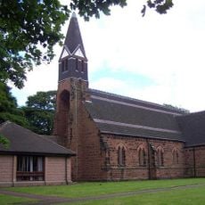
St James' Church, Brownhills
2 km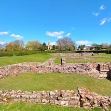
Wall
3.1 km
Jigger
2.4 km
St Anne's Church
3.8 km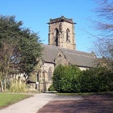
Church of St John the Baptist, Shenstone
4.7 km
Church of St John the Baptist
1 km
Church of St Peter
3.2 km
Christchurch
2.7 km
Church of St John
3.1 km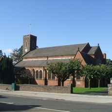
The Parish Church of St John
3.7 km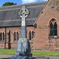
Walsall Wood War Memorial
3.8 km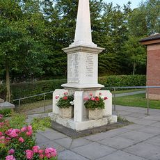
Chase Terrace and Boney Hay War Memorial
4.4 km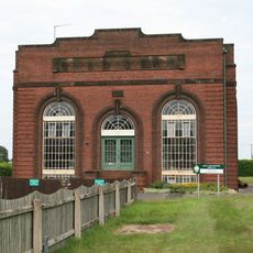
Sandhills Pumping Station
1.4 km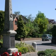
Shenstone War Memorial
4.4 km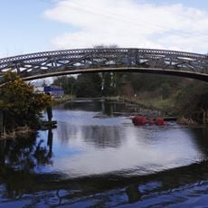
Wyrley And Essington Canal Footbridge At Ogley Junction
1.1 km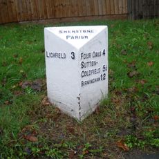
Milepost At Sk 112048
4.8 km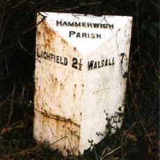
Milepost At Sk 086072
2 km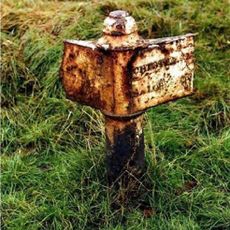
Milepost, N of Holland Park, Brownhills
2.2 km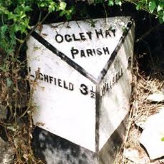
Milepost, near "Boat Inn" PH, Summerhill
945 m
Milepost, jct of old A5 to Wall
4.5 km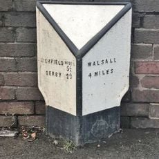
Milepost, Walsall Wood, nr A4152 jct, by No. 183 Lichfield Road, Shire Oak
3 kmReviews
Visited this place? Tap the stars to rate it and share your experience / photos with the community! Try now! You can cancel it anytime.
Discover hidden gems everywhere you go!
From secret cafés to breathtaking viewpoints, skip the crowded tourist spots and find places that match your style. Our app makes it easy with voice search, smart filtering, route optimization, and insider tips from travelers worldwide. Download now for the complete mobile experience.

A unique approach to discovering new places❞
— Le Figaro
All the places worth exploring❞
— France Info
A tailor-made excursion in just a few clicks❞
— 20 Minutes