
Plumtree, village and civil parish in Rushcliffe, Nottinghamshire, England
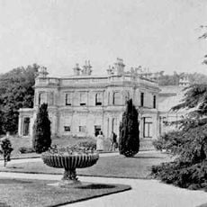
Ruddington Hall
3.6 km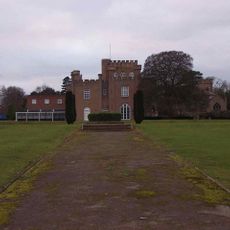
St Hugh's College, Tollerton
1.7 km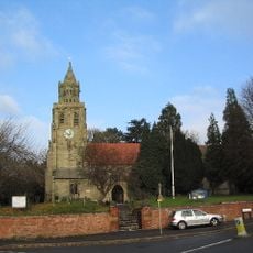
Church of St Mary Magdalene, Keyworth
2.3 km
Church of the Holy Rood, Edwalton
2.5 km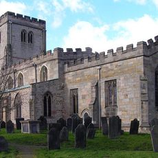
Church of St. Mary the Virgin, Plumtree
0 m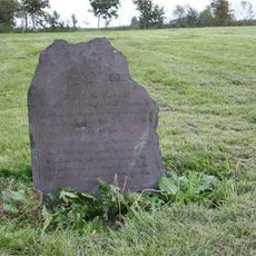
St. Peter's Church, Flawford
2.2 km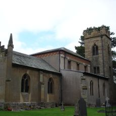
St Peter's Church
1.7 km
NHR - Nottingham Heritage Railway - (Ruddington, Station)
4 km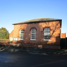
Wesleyan Methodist Chapel
3.6 km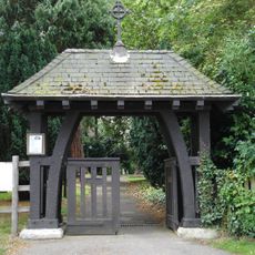
Memorial Lychgate At Church Of The Holy Rood
2.6 km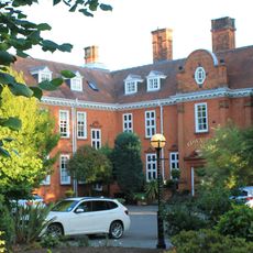
Edwalton Hall Hotel And Adjoining Outbuildings
2.9 km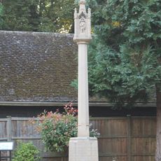
Tollerton War Memorial
1.8 km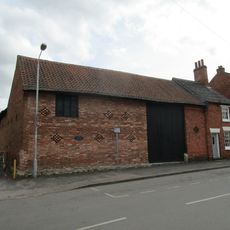
Barn Adjoining Number 15 And Attached Range Of Outbuildings
2.4 km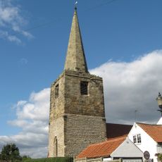
Tower And Spire Of Former Church
3.7 km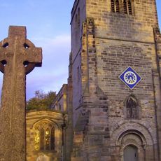
Plumtree War Memorial, Nottinghamshire
32 m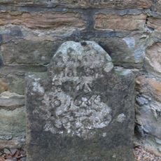
Headstone 16 Metres South Of South Aisle At Church Of The Holy Rood
2.5 km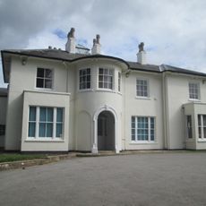
EASTHORPE HOUSE, LOUGHBOROUGH ROAD
3.6 km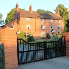
198, Tollerton Lane
1.9 km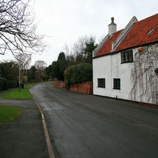
The Old Post Office
2.6 km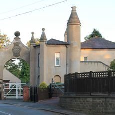
The Lodge And Attached Gateway And Wall
2.1 km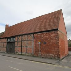
Barn At Number 31
2.4 km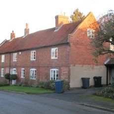
Southwell House
3.7 km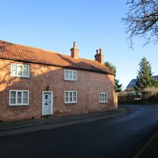
27, Farmer Street
3.6 km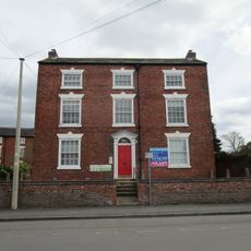
19, Main Street
2.4 km
42, Easthorpe Street
3.9 km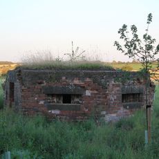
Pillbox Type 22 At Sk 61611 35840
2.8 km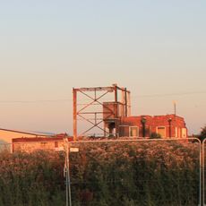
Two Storey Pillbox Inside Hangar At Grid Ref. Sk 61541 36022
2.9 km
1, Main Street
3.6 kmReviews
Visited this place? Tap the stars to rate it and share your experience / photos with the community! Try now! You can cancel it anytime.
Discover hidden gems everywhere you go!
From secret cafés to breathtaking viewpoints, skip the crowded tourist spots and find places that match your style. Our app makes it easy with voice search, smart filtering, route optimization, and insider tips from travelers worldwide. Download now for the complete mobile experience.

A unique approach to discovering new places❞
— Le Figaro
All the places worth exploring❞
— France Info
A tailor-made excursion in just a few clicks❞
— 20 Minutes