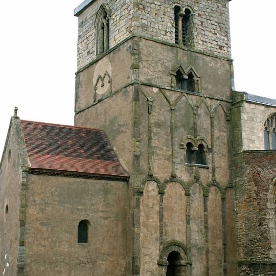
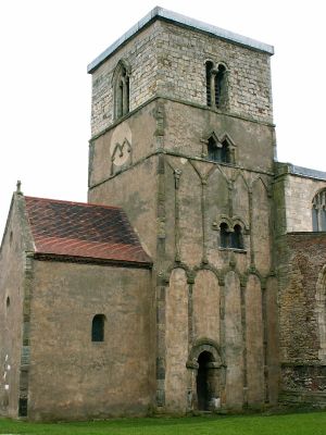
Barton-upon-Humber, town in North Lincolnshire, England
The community of curious travelers
AroundUs brings together thousands of curated places, local tips, and hidden gems, enriched daily by 60,000 contributors worldwide.
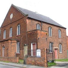
United Reformed Church
560 m
1, Chapel Lane
517 m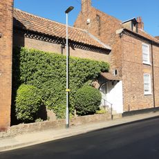
3, Chapel Lane
514 m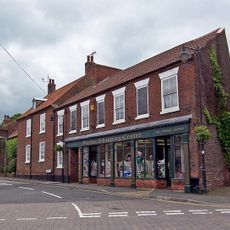
5 And 7, Chapel Lane
511 m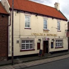
Coach And Horses Public House
514 m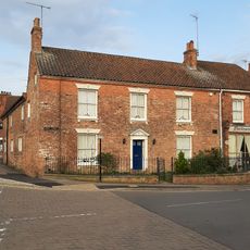
77, High Street
506 m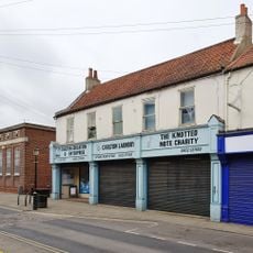
29 And 31, Fleetgate
495 m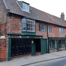
47 And 49, Fleetgate
558 m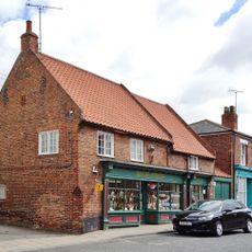
72, High Street
513 m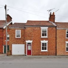
14, Westfield Road
348 m
69, High Street
550 m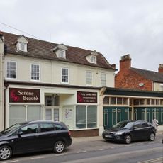
37 And 39, Fleetgate
520 m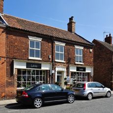
80, High Street
498 m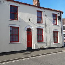
75, High Street
534 m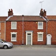
10, Westfield Road
356 m
68, High Street
519 m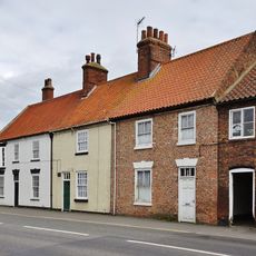
32-36, Holydyke
443 m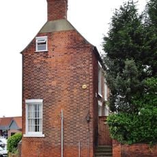
2, Fleetgate
425 m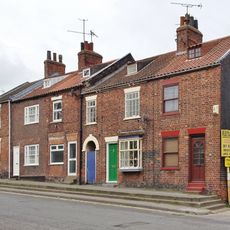
3 And 5, Fleetgate
402 m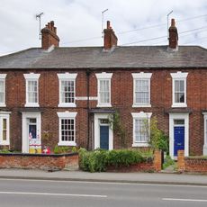
12-18, Holydyke
468 m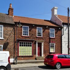
76, High Street
507 m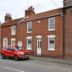
8, Westfield Road
361 m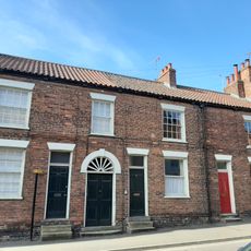
63-67, High Street
560 m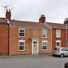
12, Westfield Road
351 m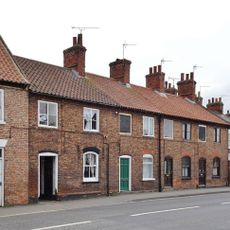
20-26, Holydyke
452 m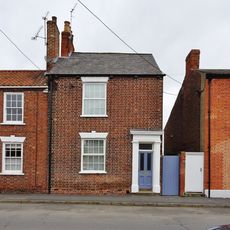
6, Westfield Road
365 m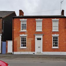
4, Westfield Road
373 m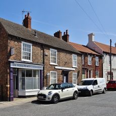
78 And 78A, High Street
502 mDiscover hidden gems everywhere you go!
From secret cafés to breathtaking viewpoints, skip the crowded tourist spots and find places that match your style. Our app makes it easy with voice search, smart filtering, route optimization, and insider tips from travelers worldwide. Download now for the complete mobile experience.

A unique approach to discovering new places❞
— Le Figaro
All the places worth exploring❞
— France Info
A tailor-made excursion in just a few clicks❞
— 20 Minutes
