
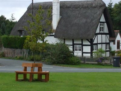
Sambourne, hamlet in Warwickshire, England
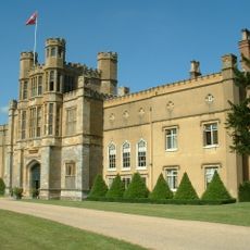
Coughton Court
2.9 km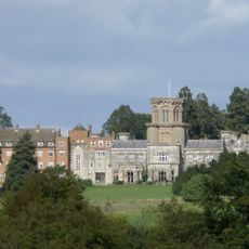
Studley Castle
3.4 km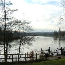
Arrow Valley Country Park
5.3 km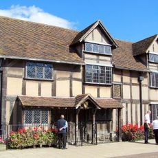
Cookhill Priory
5.1 km
St Leonard's Church, Spernall
2.7 km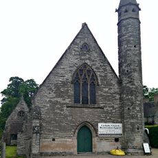
Roman Catholic Church of Saint Peter Paul and Elizabeth
3.1 km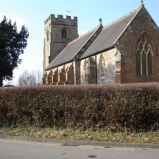
Church of St Peter
4.3 km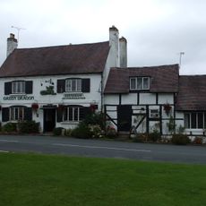
The Green Dragon Public House
480 m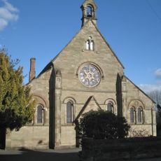
Church of St Luke
4.4 km
Church of St Peter, Coughton
3 km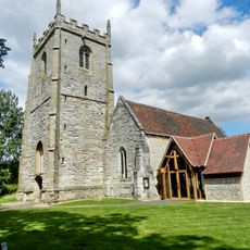
Church of St Mary
2.6 km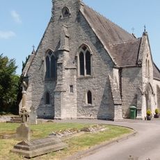
Roman Catholic Church of St Mary
1.9 km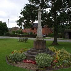
Sambourne War Memorial
519 m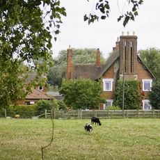
Priory Farmhouse
2.2 km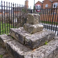
Coughton Cross And Attached Railings
2.9 km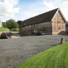
Church Farm, Barn Range Approximately 20 Metres South East Of Farmhouse
5.8 km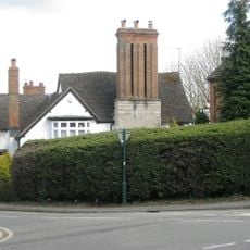
Claremont House
2 km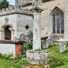
Church of St Peter Churchyard Cross Base and Sundial 5.5 Metres South East of Church Porch
3 km
Netherstead Farmhouse
4.9 km
Coughton Cross Farmhouse
2.9 km
Milestone Approximately 300 Metres South West Of Coughton Court
2.8 km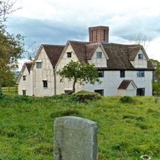
Church Farmhouse
5.8 km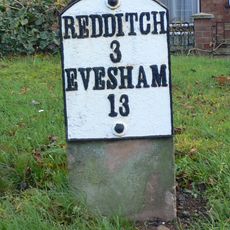
Milestone, Astwood Bank
1.6 km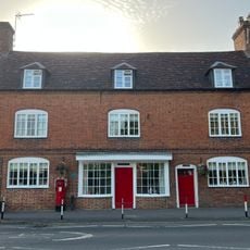
Coughton Post Office
2.9 km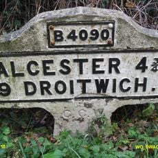
Milestone, Salt Way, E of Milepost Lane, E of Hall View & road bend
3.3 km
Morrisons
4.8 km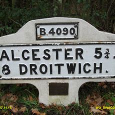
Milestone, alcester road, by entrance to National Grid electricity station
4.1 km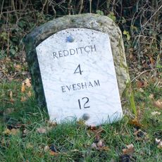
Milestone, The Ridgeway, Birdie Lovelies Grange
1.8 kmVisited this place? Tap the stars to rate it and share your experience / photos with the community! Try now! You can cancel it anytime.
Discover hidden gems everywhere you go!
From secret cafés to breathtaking viewpoints, skip the crowded tourist spots and find places that match your style. Our app makes it easy with voice search, smart filtering, route optimization, and insider tips from travelers worldwide. Download now for the complete mobile experience.

A unique approach to discovering new places❞
— Le Figaro
All the places worth exploring❞
— France Info
A tailor-made excursion in just a few clicks❞
— 20 Minutes