
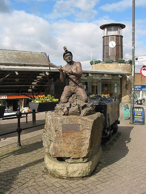
Cinderford, town on the eastern fringe of the Forest of Dean in Gloucestershire, England
Location: Forest of Dean
Website: https://cinderfordtowncouncil.gov.uk
GPS coordinates: 51.82250,-2.49890
Latest update: March 5, 2025 20:32
Littledean Hall
1.7 km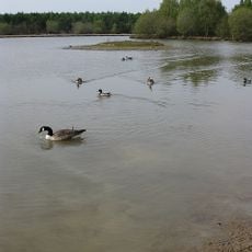
Woorgreens Lake and Marsh
2.9 km
Speech House Oaks
3.8 km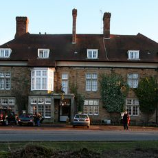
Speech House
4.1 km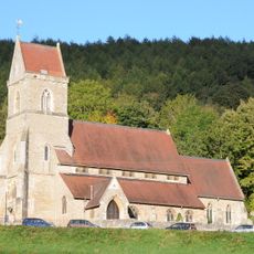
Holy Jesus' Church, Lydbrook
5.6 km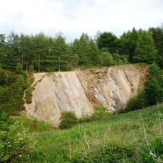
Edgehills Quarry
2.9 km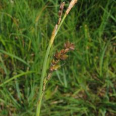
Edgehills Bog
1.6 km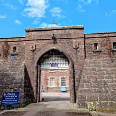
Littledean Jail
1.6 km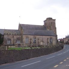
Church of St Ethelbert
1.5 km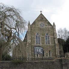
Church of St Stephen
204 m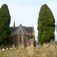
Church of St John the Evangelist
1.2 km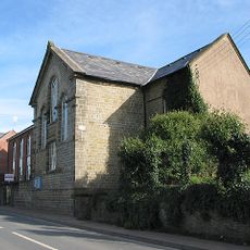
United Reformed Church
3.4 km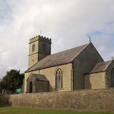
Church of the Holy Trinity
2.8 km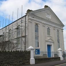
Baptist Church
138 m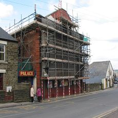
Palace Cinema
119 m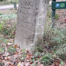
Milestone About 1/4 Mile East Of Speech House Hotel
3.6 km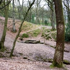
St Anthony's Well
2.3 km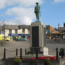
Cinderford War Memorial
206 m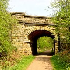
Former Railway Bridge By Dilke Memorial Hospital
2.1 km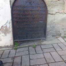
Road Marker Against Front Wall Of 1 Victoria Street
130 m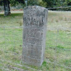
Milestone About 275 Metres East Of Cannop Crossroads
5.1 km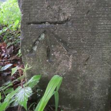
Milestone, opp. Yew Tree Cemetry
2.2 km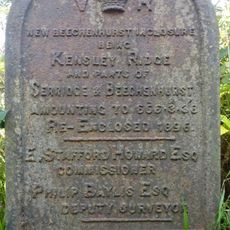
Enclosure Marker, Crabtree Hill Lodge
2.3 km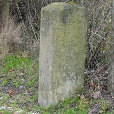
Milestone, High Street, 5m along lane
3.8 km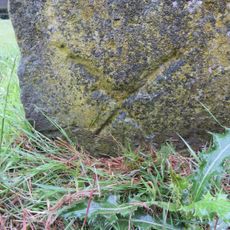
Milestone, near Littledean Gaol
1.6 km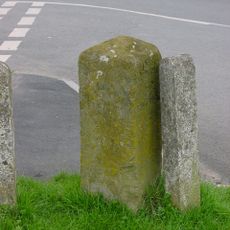
Milestone, junction
5.1 km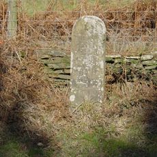
Milestone, by MR to Herbet Lodge
2.8 km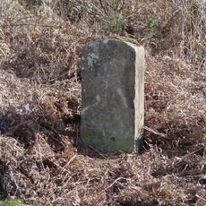
Milestone, on approach to old railway bridge
3.1 kmVisited this place? Tap the stars to rate it and share your experience / photos with the community! Try now! You can cancel it anytime.
Discover hidden gems everywhere you go!
From secret cafés to breathtaking viewpoints, skip the crowded tourist spots and find places that match your style. Our app makes it easy with voice search, smart filtering, route optimization, and insider tips from travelers worldwide. Download now for the complete mobile experience.

A unique approach to discovering new places❞
— Le Figaro
All the places worth exploring❞
— France Info
A tailor-made excursion in just a few clicks❞
— 20 Minutes