
Rempstone, village and civil parish in Nottinghamshire, United Kingdom
Location: Rushcliffe
Website: http://rempstonevillage.org.uk
GPS coordinates: 52.81412,-1.14640
Latest update: March 3, 2025 12:02
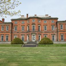
Stanford Hall
1.8 km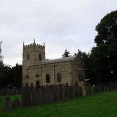
All Saints' Church, Rempstone
163 m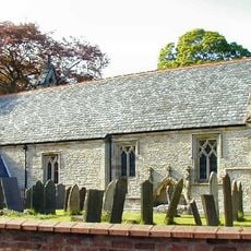
St. Giles' Church, Costock
2.1 km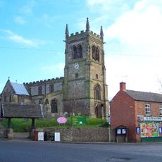
Church of St Mary
2.8 km
Church of Saint Leonard
1.8 km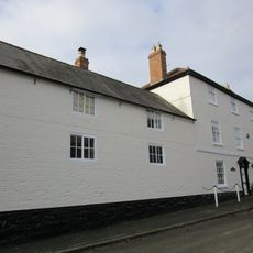
3, Church Street
2.9 km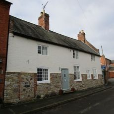
11, Church Street
2.9 km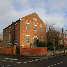
Methodist Chapel
2.8 km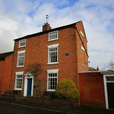
24, Church Street
2.9 km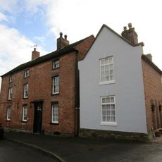
17, Church Street
2.9 km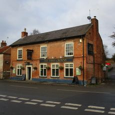
The 3 Crowns Public House
2.8 km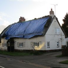
The Thatch
51 m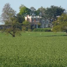
Rempstone Hall
620 m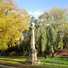
East Leake War Memorial
3 km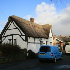
The Cottage
182 m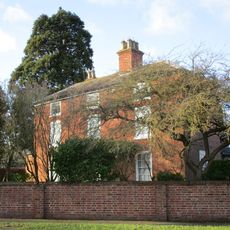
2, Loughborough Road
1.9 km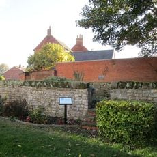
The Pinfold
3 km
Number 25 Incorporating The Post Office
3 km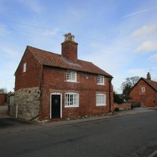
3, Wymeswold Road
1.8 km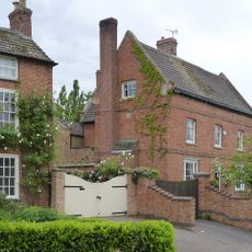
Hrempis Farmhouse
338 m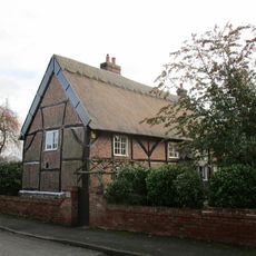
28, Wymeswold Road
1.8 km
58, Brook Street
2.9 km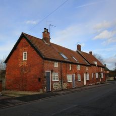
5-9, Wymeswold Road
1.8 km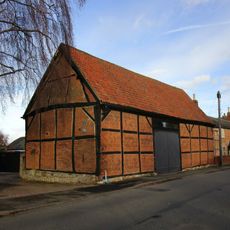
Barn To Holly Tree Farm
1.8 km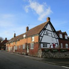
11, Wymeswold Road
1.8 km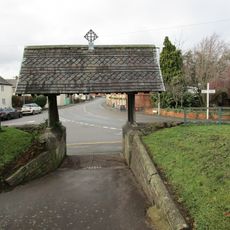
Lychgate to Church Yard
2.8 km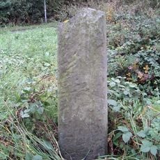
Milestone, Rempstone Road; at jct with Bull Lane (Leake Lane)
2.4 km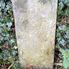
Milestone, W of Rempstone Hall
828 mReviews
Visited this place? Tap the stars to rate it and share your experience / photos with the community! Try now! You can cancel it anytime.
Discover hidden gems everywhere you go!
From secret cafés to breathtaking viewpoints, skip the crowded tourist spots and find places that match your style. Our app makes it easy with voice search, smart filtering, route optimization, and insider tips from travelers worldwide. Download now for the complete mobile experience.

A unique approach to discovering new places❞
— Le Figaro
All the places worth exploring❞
— France Info
A tailor-made excursion in just a few clicks❞
— 20 Minutes