
West Rudham, village and civil parish in Norfolk, United Kingdom
Location: King's Lynn and West Norfolk
GPS coordinates: 52.81670,0.70000
Latest update: April 11, 2025 23:03
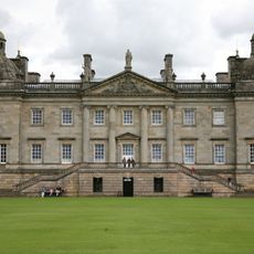
Houghton Hall
3.1 km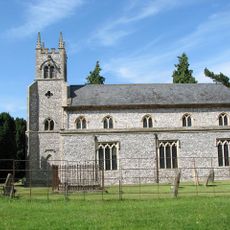
St Martin at Tours' Church, Houghton
2.7 km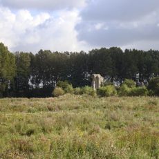
Coxford Priory
3 km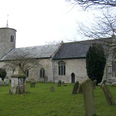
Church of St Mary
5.1 km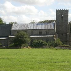
Church of St Lawrence
3.6 km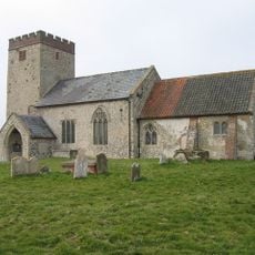
Church of All Saints
3.4 km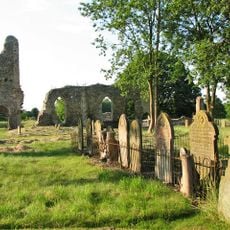
Church of St Margaret
5.7 km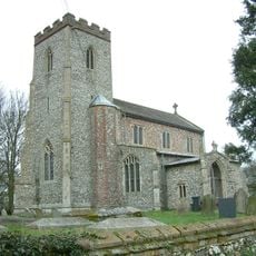
Church of St Andrew, Little Massingham
4.6 km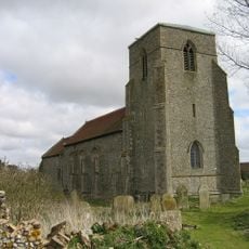
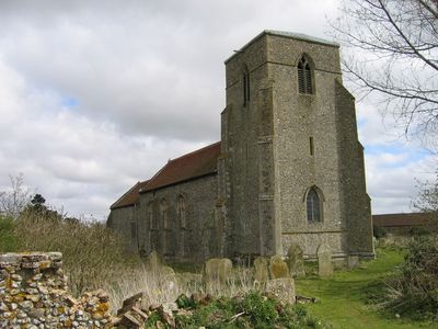
Church of St Peter
158 m
Church of All Saints
5 km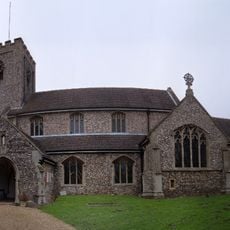
Church of St Mary
856 m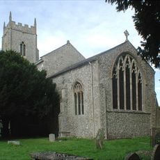
Church of St Mary
5.3 km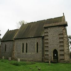
Church of St Margaret
4.6 km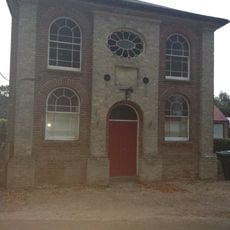
Primitive Methodist Ebenezer Chapel
1.2 km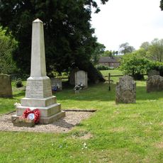
Harpley War Memorial
3.6 km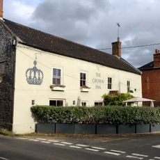
The Crown Public House
828 m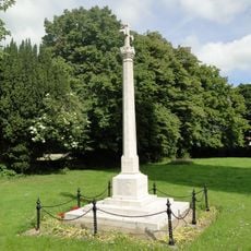
Great Massingham War Memorial
5.3 km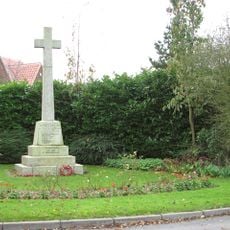
Weasenham War Memorial
6.5 km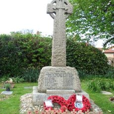
Syderstone War Memorial Cross
5 km
Mulberry Tree House
793 m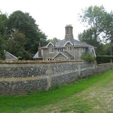
21,22
5.8 km
Bell barrow 670m north east of Crow Hall: one of a group of round barrows on Harpley Common
5.9 km
Bowl barrow 900m north east of Crow Hall: one of a group of round barrows on Harpley Common
6.1 km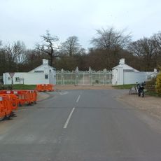
Houghton Hall South Lodges With Gates, Gate Piers And Walls Attached
3 km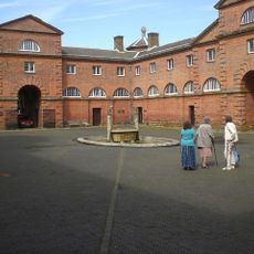
The Square
3.1 km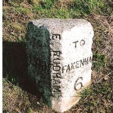
Milestone, 80yds E of jct with Eye Lane
1.4 km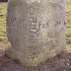
Milestone, opp. drive between "Rosedean" and "Albion House"
336 m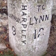
Milestone, Rudham Road, by "Hillcrest",
3.2 kmReviews
Visited this place? Tap the stars to rate it and share your experience / photos with the community! Try now! You can cancel it anytime.
Discover hidden gems everywhere you go!
From secret cafés to breathtaking viewpoints, skip the crowded tourist spots and find places that match your style. Our app makes it easy with voice search, smart filtering, route optimization, and insider tips from travelers worldwide. Download now for the complete mobile experience.

A unique approach to discovering new places❞
— Le Figaro
All the places worth exploring❞
— France Info
A tailor-made excursion in just a few clicks❞
— 20 Minutes