
Halling, village and civil parish in Kent, United Kingdom
Location: Medway
Website: http://halling-pc.co.uk.
GPS coordinates: 51.35142,0.44133
Latest update: April 28, 2025 18:10
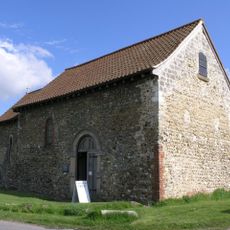
St Benedict's Church, Paddlesworth
2.6 km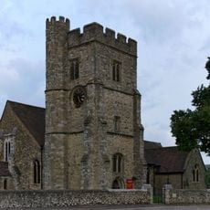
All Saints Church, Snodland
2.5 km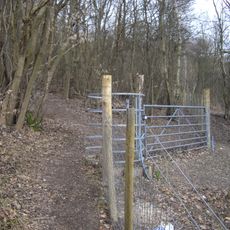
Halling to Trottiscliffe Escarpment
2.6 km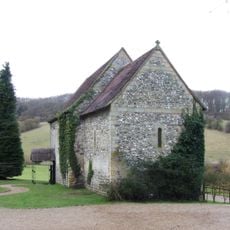
Church of Our Lady of the Meadow
3.3 km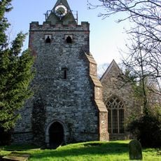
Church of St John the Baptist
522 m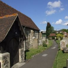
Church of All Saints
1.2 km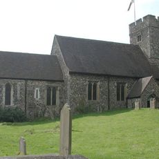
Church of St Michael and All Angels, Cuxton
2.4 km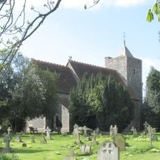
Parish Church of St Peter and St Paul
3.7 km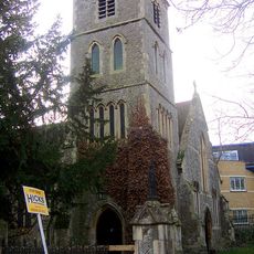
Church of the New Jerusalem
2.4 km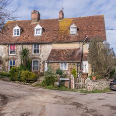
Chapel Houses
1.1 km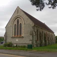
Christ Church
3 km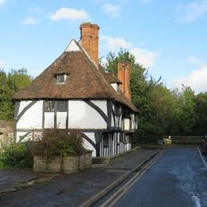
Mulberry Cottages
2.4 km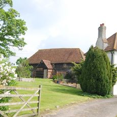
Barn With Attached Well House 30 Yards East Of Paddlesworth Old Farmhouse
2.6 km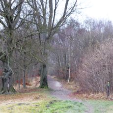
Cuxton
3.1 km
Snodland Library
2.4 km
White Hart House
2.8 km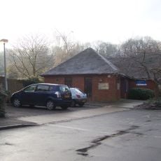
Cuxton Library
2.6 km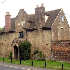
Whorns Place
2 km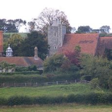
Luddesdown Court
3.7 km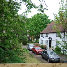
Little Holborough
1.5 km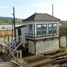
Cuxton Signal Box
2.8 km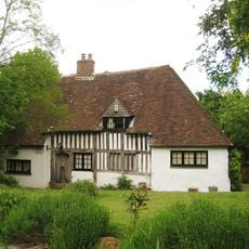
Prings
886 m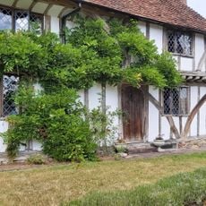
High Birch
2.7 km
Gateway To Whorns Place And Cart Shed
2 km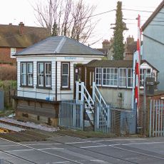
Snodland Signal Box
2.5 km
Court Farm
1.1 km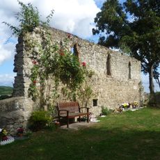
Bishop's palace at Halling
536 m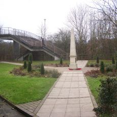
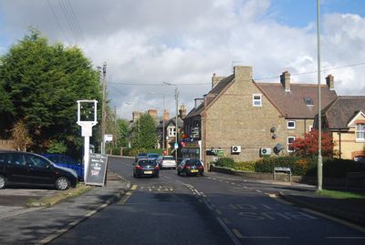
Halling War Memorial, Kent
171 mVisited this place? Tap the stars to rate it and share your experience / photos with the community! Try now! You can cancel it anytime.
Discover hidden gems everywhere you go!
From secret cafés to breathtaking viewpoints, skip the crowded tourist spots and find places that match your style. Our app makes it easy with voice search, smart filtering, route optimization, and insider tips from travelers worldwide. Download now for the complete mobile experience.

A unique approach to discovering new places❞
— Le Figaro
All the places worth exploring❞
— France Info
A tailor-made excursion in just a few clicks❞
— 20 Minutes