
Saxmundham, town and civil parish in Suffolk, United Kingdom
Location: East Suffolk
Website: https://saxmundham.org
GPS coordinates: 52.21500,1.48700
Latest update: March 7, 2025 10:06
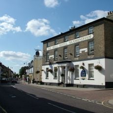
Bell Hotel
359 m
Church of St Mary
1.7 km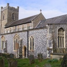
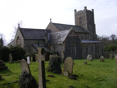
Church of St John Baptist
630 m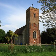
Church of St Peter
869 m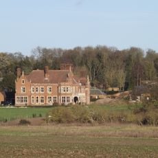
Hurts Hall
892 m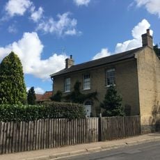
Church House
564 m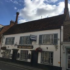
White Hart Hotel, Saxmundham
373 m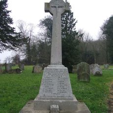
Benhall War Memorial Cross
1.7 km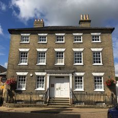
Old Bank House Including Railings To Front
336 m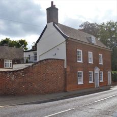
The Beeches Including Stable Block
386 m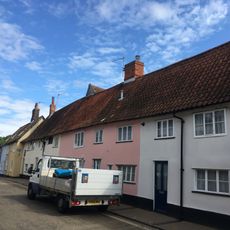
The Angel, Saxmundham
358 m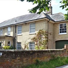
Fairfield Preparatory School
362 m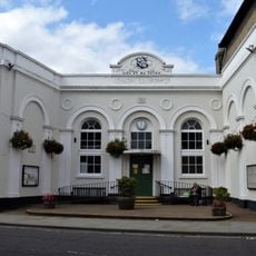
Market Hall, Front Steps And Attached Railings
344 m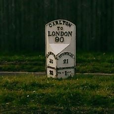
Milepost, 60yds N of caravan site & sports club entrance
889 m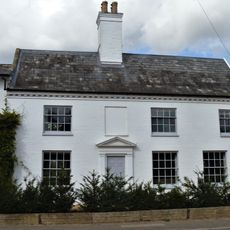
The White House
416 m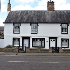
Varley House
363 m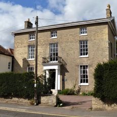
Beech Lawn House Including Orangery To Rear
344 m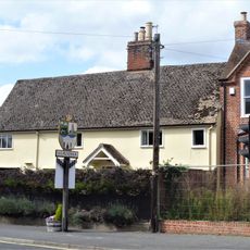
Priory House
340 m
21 And 23, Market Place
355 m
14 And 16, Chantry Road
252 m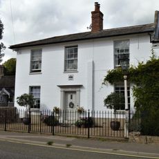
Crown House
429 m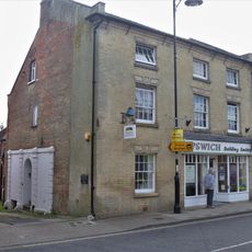
10, High Street
366 m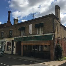
2, High Street
365 m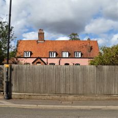
16, South Entrance
363 m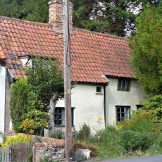
24, North Entrance
457 m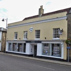
Ashford House
388 m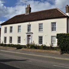
Ivy House
352 m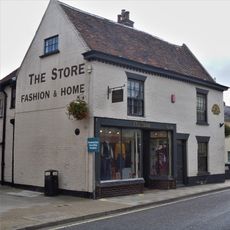
46, High Street
377 mVisited this place? Tap the stars to rate it and share your experience / photos with the community! Try now! You can cancel it anytime.
Discover hidden gems everywhere you go!
From secret cafés to breathtaking viewpoints, skip the crowded tourist spots and find places that match your style. Our app makes it easy with voice search, smart filtering, route optimization, and insider tips from travelers worldwide. Download now for the complete mobile experience.

A unique approach to discovering new places❞
— Le Figaro
All the places worth exploring❞
— France Info
A tailor-made excursion in just a few clicks❞
— 20 Minutes