
Croydon, village in Cambridgeshire, United Kingdom
Location: South Cambridgeshire
Shares border with: Longstowe
GPS coordinates: 52.13000,-0.08000
Latest update: March 2, 2025 20:16
Wimpole Estate
2.4 km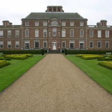
Wimpole Hall
2.4 km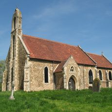
Church of St Denis
3.1 km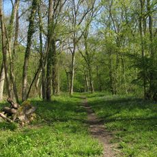
Buff Wood
3.4 km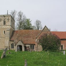
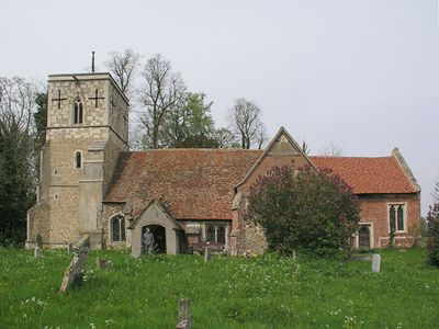
Church of All Saints
91 m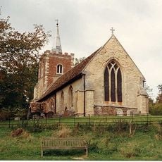
Church of St Nicholas
1.2 km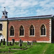
Church of St Andrew, Wimpole
2.5 km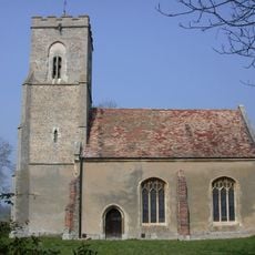
Church of St George
4 km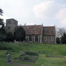
Church of St Giles
4.1 km
All Saints (Shingay-cum-Wendy Parish Church)
2.2 km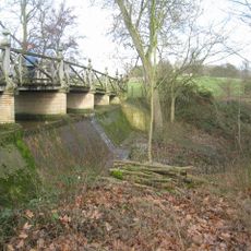
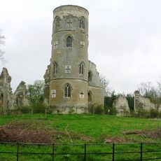
Chinese Bridge 300 Yards North Of Wimpole Hall
2.8 km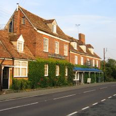
Hardwicke Arms Hotel
1.4 km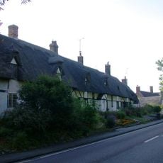
143-153 Crow End Cottages, Ermine Way
1.5 km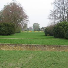
Ha Ha And Piers 250 Yards North West Of Wimpole Hall
2.3 km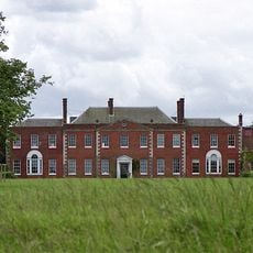
Hatley Park
4.1 km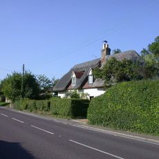
Acacia Cottage Rose Cottage
1.4 km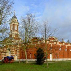
Stable Block, About 250 Yards South East Of Wimpole Hall
2.6 km
Wall And Railings About 30 Yards South Of Wimpole Hall
2.3 km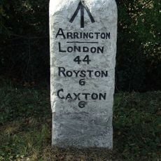
Milestone 60m north-east of Arrington Nurseries
1.5 km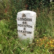
Milestone Opposite Coomb Grove Farmhouse
3.2 km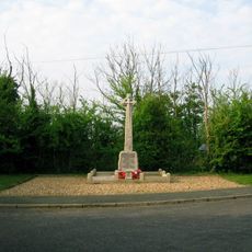
Wimpole and Arrington War Memorial
2 km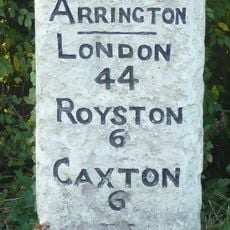
Milestone, Corner Of Ermine Way And Potton Road
1.8 km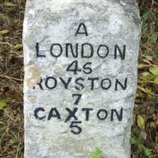
Milestone Near Turn To Mill Lane
1.9 km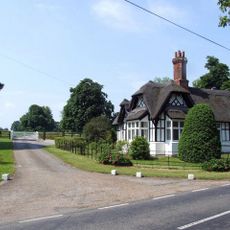
Lodge To Hatley Park
3.7 km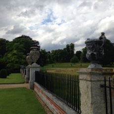
Clairvoyee, About 20 Yards North Of Wimpole Hall
2.4 km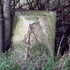
Milestone Near The Beeches And Craden Old Farm
1.2 km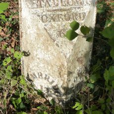
Milepost, Lower Road, E of jct with High Street
3.6 km
K6 Telephone Kiosk
1.4 kmReviews
Visited this place? Tap the stars to rate it and share your experience / photos with the community! Try now! You can cancel it anytime.
Discover hidden gems everywhere you go!
From secret cafés to breathtaking viewpoints, skip the crowded tourist spots and find places that match your style. Our app makes it easy with voice search, smart filtering, route optimization, and insider tips from travelers worldwide. Download now for the complete mobile experience.

A unique approach to discovering new places❞
— Le Figaro
All the places worth exploring❞
— France Info
A tailor-made excursion in just a few clicks❞
— 20 Minutes