
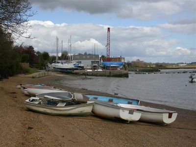
Waldringfield, village and civil parish in Suffolk, United Kingdom
Location: East Suffolk
Website: http://onesuffolk.co.uk/WaldringfieldPC
GPS coordinates: 52.05160,1.32247
Latest update: March 2, 2025 23:58
Ramsholt Cliff
2.5 km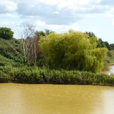
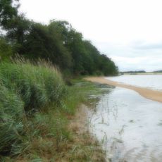
Waldringfield Pit
1.9 km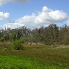
Newbourne Springs
1.4 km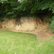
Rockhall Wood Pit, Sutton
2.5 km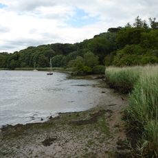
Ferry Cliff, Sutton
4.2 km
Crag Pit, Sutton
4 km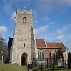
Church of St Mary
1.5 km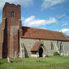
Church of All Saints
2.2 km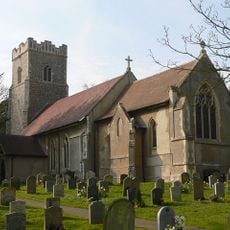
Church of St Mary
2.9 km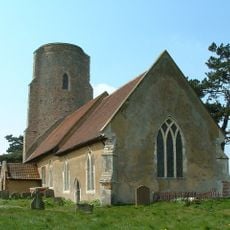
Church of All Saints
3.7 km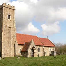
Church of St Margaret
4.2 km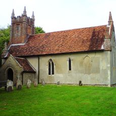
Church of St John the Baptist
3.1 km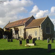
Church of All Saints
3.4 km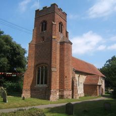
Church of All Saints
394 m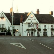
Red Lion Inn
3.8 km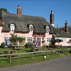
The Sorrel Horse Inn, Shottisham
4.1 km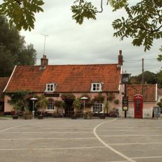
The Fox, Newbourne
1.4 km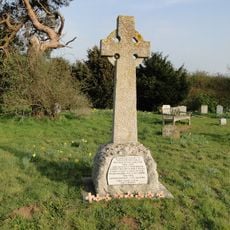
Ramsholt War Memorial
3.7 km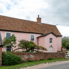
Hill Farmhouse
3.4 km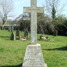
Newbourne War Memorial
1.5 km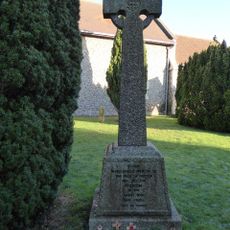
Sutton War Memorial
3.4 km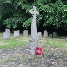
Martlesham War Memorial
3 km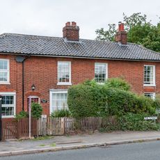
5 And 6, The Street
3.9 km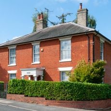
Red House
3.8 km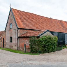
Barn, 30 Metres East Of Hill Farmhouse
3.4 km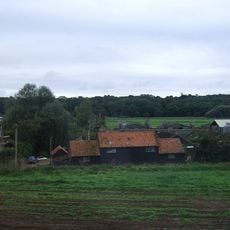
Sluice Farmhouse
3.8 km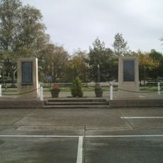
RAF Martlesham Heath Memorial
3.1 km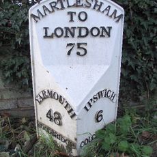
Milepost, near Red Lion PH
3.8 kmVisited this place? Tap the stars to rate it and share your experience / photos with the community! Try now! You can cancel it anytime.
Discover hidden gems everywhere you go!
From secret cafés to breathtaking viewpoints, skip the crowded tourist spots and find places that match your style. Our app makes it easy with voice search, smart filtering, route optimization, and insider tips from travelers worldwide. Download now for the complete mobile experience.

A unique approach to discovering new places❞
— Le Figaro
All the places worth exploring❞
— France Info
A tailor-made excursion in just a few clicks❞
— 20 Minutes