
Stanion, village in Northamptonshire, United Kingdom
Location: North Northamptonshire
GPS coordinates: 52.46880,-0.65450
Latest update: March 9, 2025 23:30

Corby Cube
4 km
Cowthick Quarry
1.8 km
Geddington Chase SSSI
2 km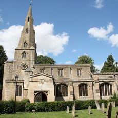
Church of St Andrew
3.4 km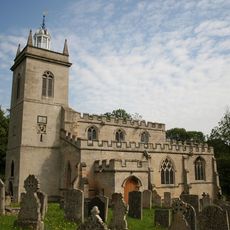
Church of St Mary the Virgin
3.1 km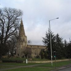
Church of St John the Baptist
2.8 km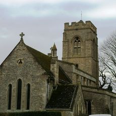
Church of St Peter
2.5 km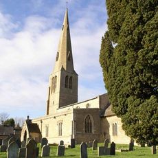
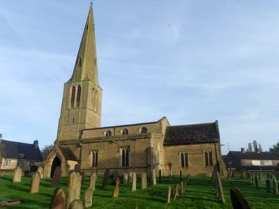
Church of St Peter
345 m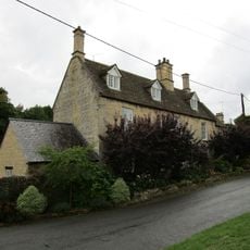
20, Church Street
3 km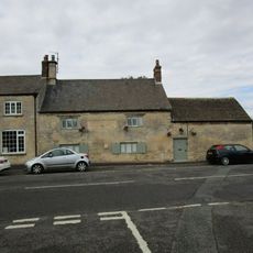
The Woolpack Public House
3.4 km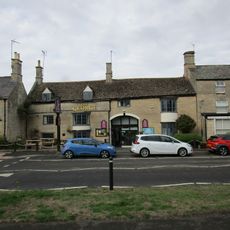
The George Hotel And Restaurant
3.3 km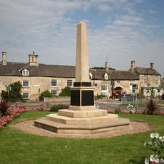
Weldon War Memorial, Northamptonshire
3.3 km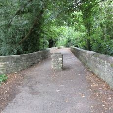
Causeway
3.2 km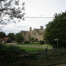
Manor Farmhouse and Attached Outbuildings
2.5 km
12, Hall Hill
3.3 km
57, High Street
3.1 km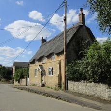
Roke House
3.5 km
The Rosary
3.5 km
44, High Street
3.2 km
75 And 77, High Street
3.1 km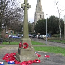
Corby War Memorial
2.9 km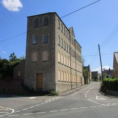
Wallis's Mill (Wythe,Holland,Udall Partnership)
3.1 km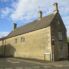
The Old School House And Attached Studio
3.1 km
11, Stamford Road
3.4 km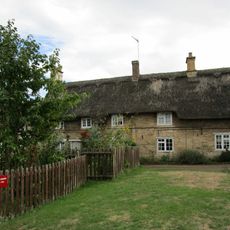
9, 10 And 11, School Lane
3.4 km
27, High Street
3.3 km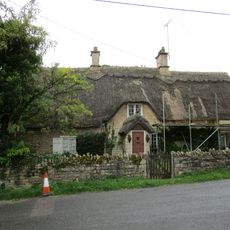
The Old Rectory Lodge
3 km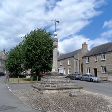
Market Cross
3.4 kmReviews
Visited this place? Tap the stars to rate it and share your experience / photos with the community! Try now! You can cancel it anytime.
Discover hidden gems everywhere you go!
From secret cafés to breathtaking viewpoints, skip the crowded tourist spots and find places that match your style. Our app makes it easy with voice search, smart filtering, route optimization, and insider tips from travelers worldwide. Download now for the complete mobile experience.

A unique approach to discovering new places❞
— Le Figaro
All the places worth exploring❞
— France Info
A tailor-made excursion in just a few clicks❞
— 20 Minutes