
Habrough, human settlement in United Kingdom
Location: North East Lincolnshire
GPS coordinates: 53.60790,-0.26491
Latest update: March 3, 2025 02:01
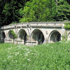
Newsham Bridge
1.7 km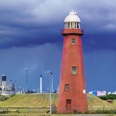
Killingholme High Lighthouse
5.3 km
Church of St Helen
5 km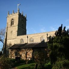
Church of St.andrew
2.9 km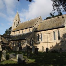
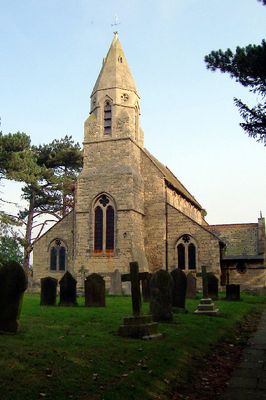
Church of St.Margaret
812 m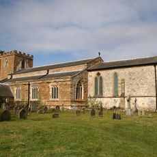
Church of Saint Peter
5.3 km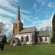
Church of Saint Nicholas
4.6 km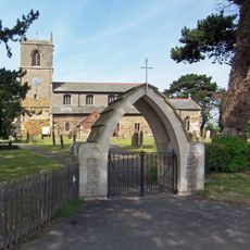
Church of Saint Denys
3.6 km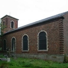
Church of St. Peter and St. Paul
5 km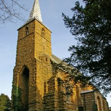
Church of All Saints
2.6 km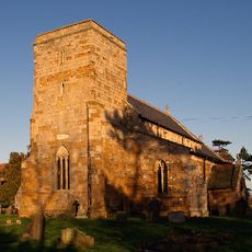
Church of Saint Peter
4.7 km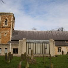
Church of Saint Bartholomew
4.1 km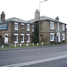
The New Inn
5.4 km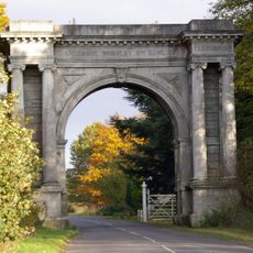
Brocklesby Memorial Arch
4.4 km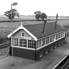
Brocklesby Junction signal box
3 km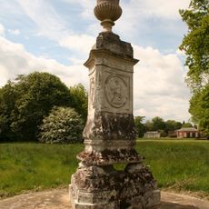
Holgate Monument
2.8 km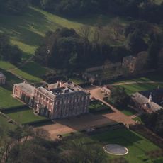
Brocklesby Hall
2.7 km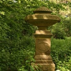
Monument To Horse
2.7 km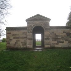
The Arabella Aufrere Temple
3.6 km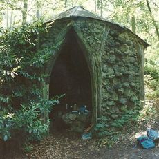
The Hermitage
3.4 km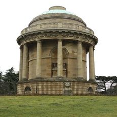
Mausoleum, Wall And Screen
5.1 km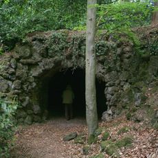
Grotto
3.4 km
Nun Cotham Priory
2.6 km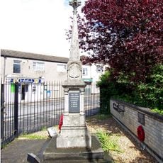
Ulceby War Memorial
4.5 km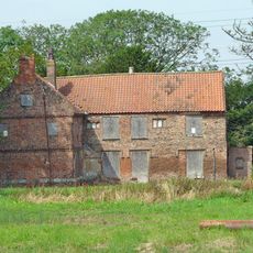
Manor Farmhouse
3.9 km
Former Heavy Anti-aircraft Gun Site
4 km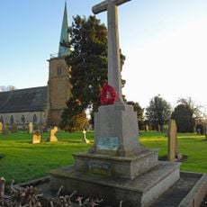
Kirmington War Memorial
5 km
No. 166 Squadron RAF Memorial Garden, Kirmington
5 kmReviews
Visited this place? Tap the stars to rate it and share your experience / photos with the community! Try now! You can cancel it anytime.
Discover hidden gems everywhere you go!
From secret cafés to breathtaking viewpoints, skip the crowded tourist spots and find places that match your style. Our app makes it easy with voice search, smart filtering, route optimization, and insider tips from travelers worldwide. Download now for the complete mobile experience.

A unique approach to discovering new places❞
— Le Figaro
All the places worth exploring❞
— France Info
A tailor-made excursion in just a few clicks❞
— 20 Minutes