
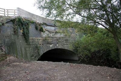
Semington Aqueduct, canal aqueduct in Wiltshire, United Kingdom
Location: Melksham Without
Location: Semington
GPS coordinates: 51.34760,-2.14930
Latest update: March 8, 2025 11:38
Monkton House
1.9 km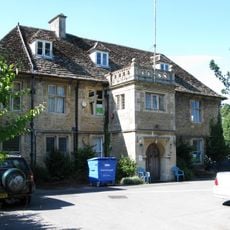
Melksham House
2.7 km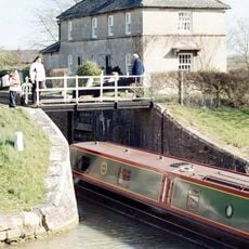
Semington Locks
306 m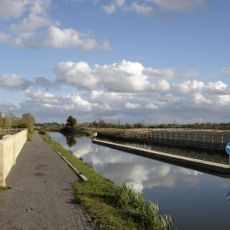
New Semington Aqueduct
738 m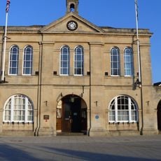
Town Hall
2.8 km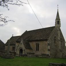
Church of St George
516 m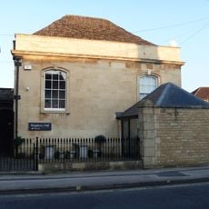
National Spiritualist Church
2.7 km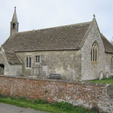
Church of St Mary
1.7 km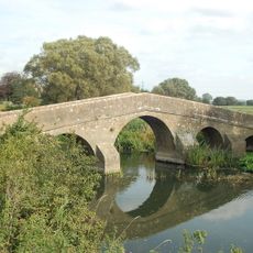
Packhorse Bridge
1.9 km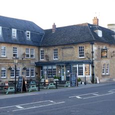
The Kings Arms Hotel
2.8 km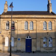
31, Market Place
2.8 km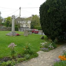
Semington War Memorial
502 m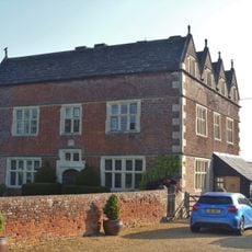
Woolmore Farmhouse
2.5 km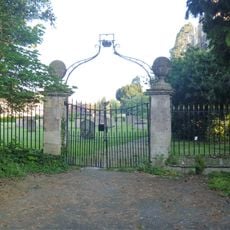
Gate Piers And Gates Into Churchyard Of Church Of St Michael And All Angels
2.8 km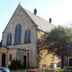
Rachel Fowler Centre
2.8 km
9,11,13,15, Market Place
2.7 km
The Limes
2.7 km
Little Ashton
2.8 km
403 And 404
2.5 km
8,10,12,14, Spa Road
2.7 km
Gate Piers At Entrance To Place Road
2.8 km
The Grove
2.8 km
399 And 400
2.5 km
16, King Street
2.6 km
Milestone, Spa Road; Melksham; 50m N Snowberry Lane roundabout
2.6 km
Gate Piers To North Entrance Of Melksham House
2.8 km
Milestone, Outmarsh; opp. Outmarsh Farm buildings
596 m
Milepost, Paxcroft; 150m W Paxcroft Cottages
2.1 kmVisited this place? Tap the stars to rate it and share your experience / photos with the community! Try now! You can cancel it anytime.
Discover hidden gems everywhere you go!
From secret cafés to breathtaking viewpoints, skip the crowded tourist spots and find places that match your style. Our app makes it easy with voice search, smart filtering, route optimization, and insider tips from travelers worldwide. Download now for the complete mobile experience.

A unique approach to discovering new places❞
— Le Figaro
All the places worth exploring❞
— France Info
A tailor-made excursion in just a few clicks❞
— 20 Minutes