
Tangley, village in United Kingdom
Location: Test Valley
Website: http://tangleyparish.co.uk
GPS coordinates: 51.27198,-1.52872
Latest update: March 9, 2025 18:55
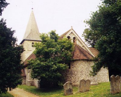
St Mary's Church, Chute Forest
2.1 km
Church of St Michael and All Angels
5.6 km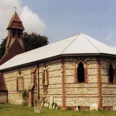
Christchurch
2.7 km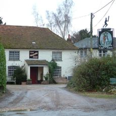
The Cricketer's Arms
342 m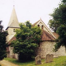
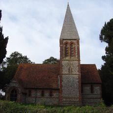
Church of St Thomas of Canterbury
476 m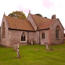
Holy Trinity Church
5.2 km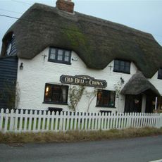
The Hamster Public House
2.9 km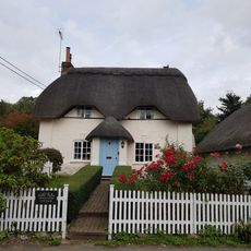
The Old Thatched Cottage
5.1 km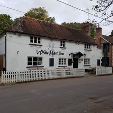
White Hart Public House
5.2 km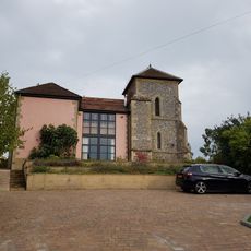
Foxcott Tower
5.5 km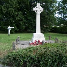
Chute and Chute Forest War Memorial
1.9 km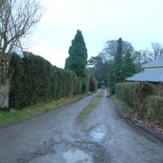
Chute Lodge
2.3 km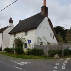
Hillside Cottage
5.2 km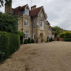
Penton Close
5.2 km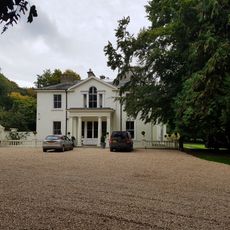
Penton Lodge
5.3 km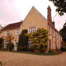
Manor House
5.3 km
Berisbury camp near Hampshire Gate
1.6 km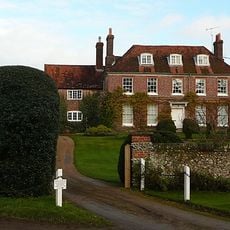
Ibthorpe House
4.8 km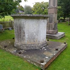
Table Tomb 3 Metres North West Of Holy Trinity Church
5.2 km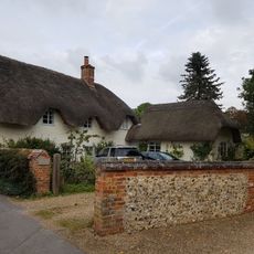
Thatches
4.9 km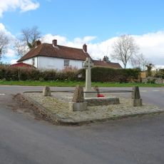
Tangley War Memorial
28 m
Old Croft
5.2 km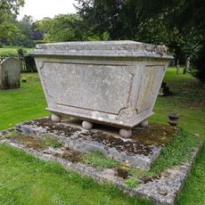
Table Tomb 5 Metres North Of Holy Trinity Church
5.2 km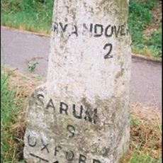
Milestone, S of Enham Alamein
5.6 km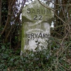
Milestone, Hustbourne Hill
4.7 km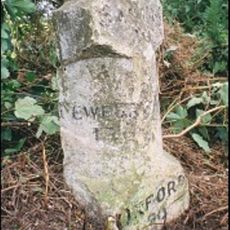
Milestone, N of Enham Alamein, Newbury Road
4.3 km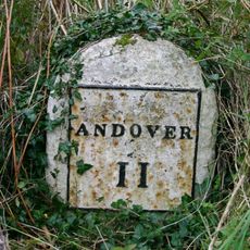
Milestone, Old Nursery Cottage
5.2 km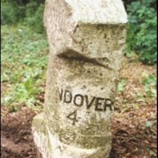
Milestone, Bourne Park
4.1 kmReviews
Visited this place? Tap the stars to rate it and share your experience / photos with the community! Try now! You can cancel it anytime.
Discover hidden gems everywhere you go!
From secret cafés to breathtaking viewpoints, skip the crowded tourist spots and find places that match your style. Our app makes it easy with voice search, smart filtering, route optimization, and insider tips from travelers worldwide. Download now for the complete mobile experience.

A unique approach to discovering new places❞
— Le Figaro
All the places worth exploring❞
— France Info
A tailor-made excursion in just a few clicks❞
— 20 Minutes