
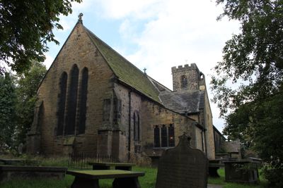
Church of All Hallows, church in Kirkburton, West Yorkshire, United Kingdom
Location: Kirkburton
Inception: 1200
GPS coordinates: 53.60870,-1.70219
Latest update: March 7, 2025 23:05
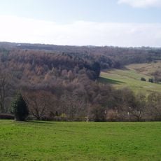
Myers Wood
985 m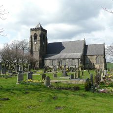
Church of Emmanuel
1.8 km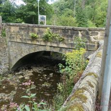
Thunder Bridge
1.5 km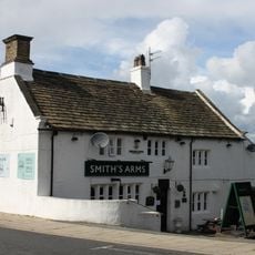
Smiths Arms Public House
1.3 km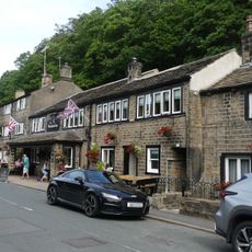
The Woodman Public House
1.4 km
2, Town Gate
1.2 km
152 and 154, Penistone Road
1.5 km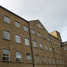
Springfield Mill
850 m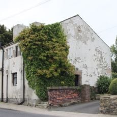
46 And 48, Town Gate
1.2 km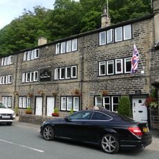
5, 9 and 11, Thunder Bridge Lane
1.4 km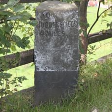
Milestone 100 Yards To North Of Junction With Far Dean
1.7 km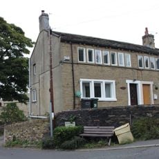
31 And 33, Far Dean
1.4 km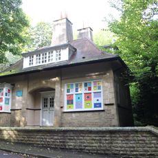
The Lodge
1.6 km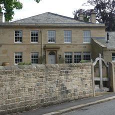
Birks Gate and attached outbuildings
1.5 km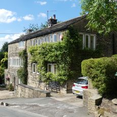
18 and 20, Dam Hill
1.5 km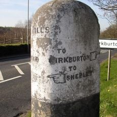
Guide Post At Junction With Riley Lane
756 m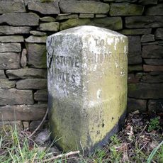
Milestone
661 m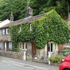
15 and 17, Thunder Bridge Lane
1.4 km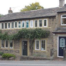
21, Far Dean
1.5 km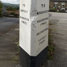
Guide Post At Junction With Far Bank
1.5 km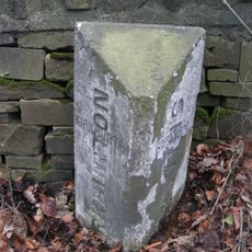
Boundary Stone 150 Yards South Of Junction With Riley Lane
826 m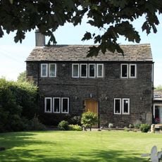
118, Paddock Road
836 m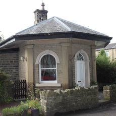
Lodge At Springfield Mill
915 m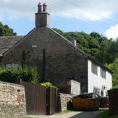
Yew Tree Farm
152 m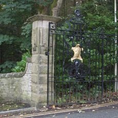
Gate Piers And Gates At The Lodge
1.6 km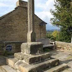
Burton Cross
1.3 km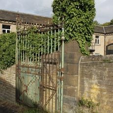
Gateway With Gate And Gate Piers At East Lodge
797 m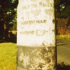
Guidestone, Penistone Road, jct with Ripley Lane; Kirkburton
754 mVisited this place? Tap the stars to rate it and share your experience / photos with the community! Try now! You can cancel it anytime.
Discover hidden gems everywhere you go!
From secret cafés to breathtaking viewpoints, skip the crowded tourist spots and find places that match your style. Our app makes it easy with voice search, smart filtering, route optimization, and insider tips from travelers worldwide. Download now for the complete mobile experience.

A unique approach to discovering new places❞
— Le Figaro
All the places worth exploring❞
— France Info
A tailor-made excursion in just a few clicks❞
— 20 Minutes