
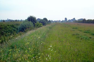
Car Dyke, section of Car Dyke situated in Waterbeach, Cambridgeshire
Location: Waterbeach
Part of: Car Dyke
GPS coordinates: 52.25960,0.18846
Latest update: March 5, 2025 22:33
Stow-Cum-Quy Fen
2.7 km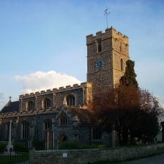
Church of St John
541 m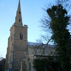
Parish Church of All Saints
1.9 km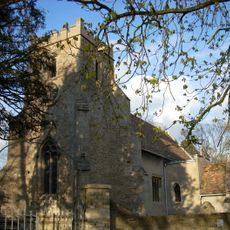
Parish Church of All Saints
2.3 km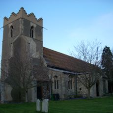
Church of St Peter
2 km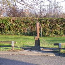
Village Pump To West Of Number 74 High Street
2.1 km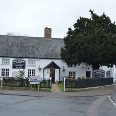
Jolly Brewers Public House
2.4 km
Lion And Lamb Public House
2.5 km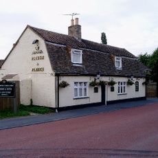
The Plough And Fleece
2.4 km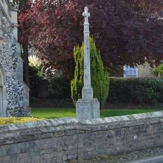
Waterbeach War Memorial
550 m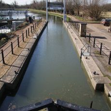
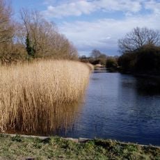
Baits Bite Lock, River Cam
2.7 km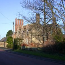
Kings Acre
2.1 km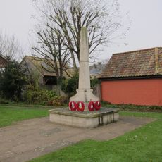
Milton War Memorial
2.4 km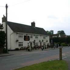
White Horse Public House
2.6 km
Eye Hall
1.1 km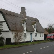
Glebe Cottage
1.7 km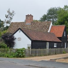
3, High Street
2.7 km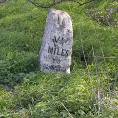
Milestone Half Mile South Of Green End Junction And Goose Hall At Ngr 484 664
2.1 km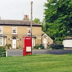
K6 Telephone Box
734 m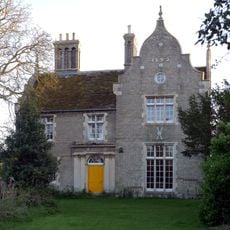
The Conservators House
787 m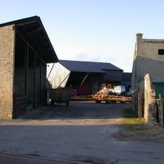
Manor Farmhouse
1.9 km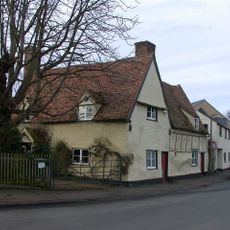
Queen Anne's Lodge
2.4 km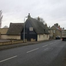
34, High Street
1.8 km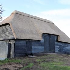
Tithe Barn The East Of Number 14 (The Old Rectory)
1.8 km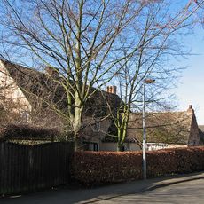
Milton House
2.5 km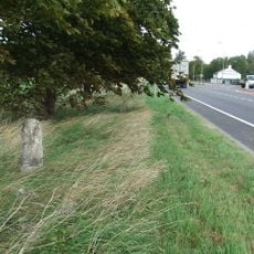
Milestone South Of Junction With Waterbeach Road At Ngr 487 649
744 m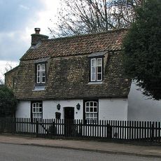
32, Fen Road
2.4 km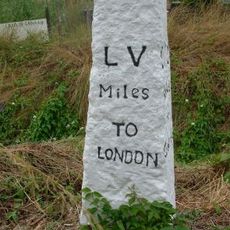
Milestone, Ely Road
1.7 kmVisited this place? Tap the stars to rate it and share your experience / photos with the community! Try now! You can cancel it anytime.
Discover hidden gems everywhere you go!
From secret cafés to breathtaking viewpoints, skip the crowded tourist spots and find places that match your style. Our app makes it easy with voice search, smart filtering, route optimization, and insider tips from travelers worldwide. Download now for the complete mobile experience.

A unique approach to discovering new places❞
— Le Figaro
All the places worth exploring❞
— France Info
A tailor-made excursion in just a few clicks❞
— 20 Minutes