
Section of Roman road on Gidea Park golf course
Section of Roman road on Gidea Park golf course, archaeological site in London Borough of Havering, Greater London, England, UK
Location: London Borough of Havering
GPS coordinates: 51.59000,0.20115
Latest update: April 14, 2025 04:32
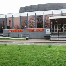
Queen's Theatre
3 km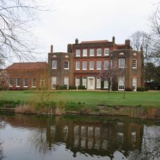
Langtons
2.9 km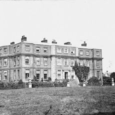
Gidea Hall
541 m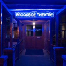
Brookside Theatre
1.9 km
Bedfords Park
2.2 km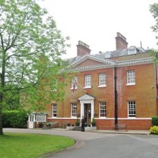
Bower House
2.8 km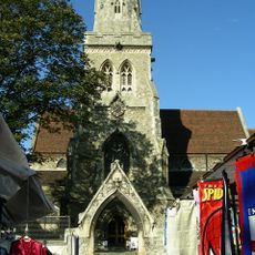
Parish Church of St Edward the Confessor
1.9 km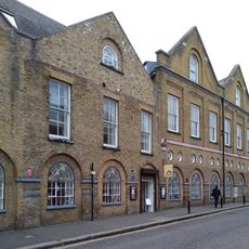
Havering Museum
2 km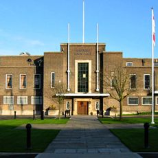
Havering Town Hall
1.5 km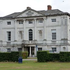
Hare Hall
789 m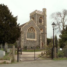
Church of St John the Evangelist, Havering-atte-Bower
3.2 km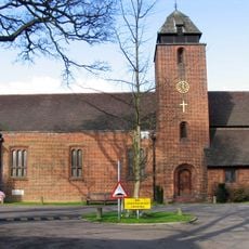
St Michael and All Angels Church, Gidea Park
301 m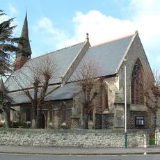
Church of St Andrew
2.5 km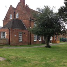
The Morris Dancer Public House
2.3 km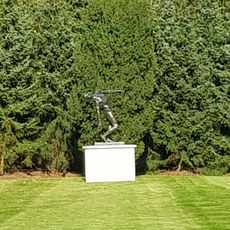
The Falling Man
2.9 km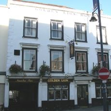
The Golden Lion The Golden Lion Public House
1.9 km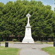
Romford War Memorial
1.5 km
The Lamb Public House
1.9 km
Stable Block At The Bower House
2.8 km
Stable Block At Langtons
2.9 km
27, Meadway
459 m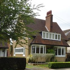
41, Heath Drive
383 m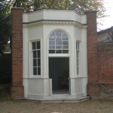
Gazebo At Langtons
3 km
The Stocks And Whipping Post
3.1 km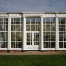
Orangery At Langtons
2.9 km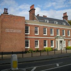
Fairykytes (Havering Art Centre)
3 km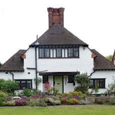
16, Meadway
482 m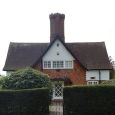
43, Heath Drive
412 mReviews
Visited this place? Tap the stars to rate it and share your experience / photos with the community! Try now! You can cancel it anytime.
Discover hidden gems everywhere you go!
From secret cafés to breathtaking viewpoints, skip the crowded tourist spots and find places that match your style. Our app makes it easy with voice search, smart filtering, route optimization, and insider tips from travelers worldwide. Download now for the complete mobile experience.

A unique approach to discovering new places❞
— Le Figaro
All the places worth exploring❞
— France Info
A tailor-made excursion in just a few clicks❞
— 20 Minutes