London Borough of Havering, Administrative district in Outer London, England
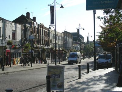
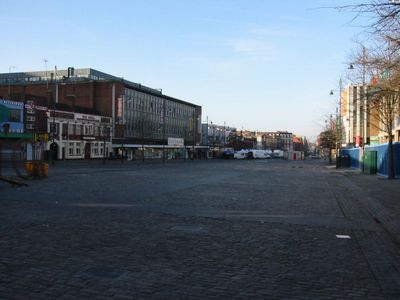
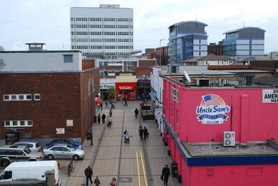
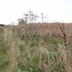
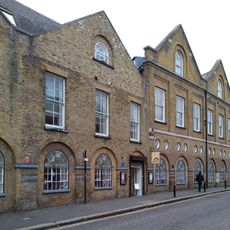
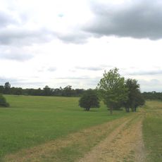
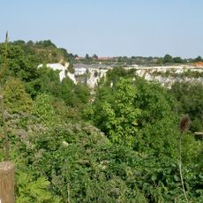
Havering is an administrative district in outer East London that stretches from the city edge to open fields and small townships. The area includes several separate settlement cores with their own shopping streets, parks and residential neighborhoods connected by green corridors and farmland.
The district was formed in 1965 as part of the Greater London expansion and brought together communities previously belonging to Essex under one new administration. Many place names and street layouts still preserve memory of the time before incorporation into the capital.
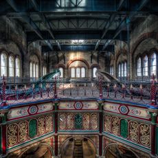
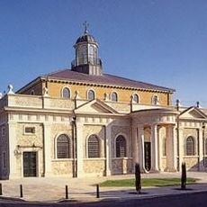
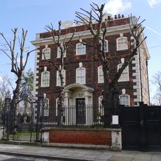
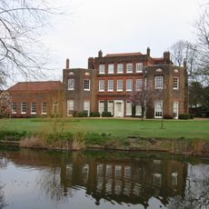
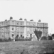
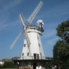
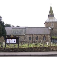
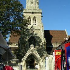
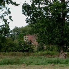
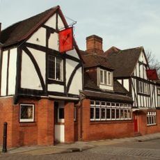
The name Havering comes from the medieval royal residence that once stood here and now marks part of the district's green network. Weekly markets and the village character of several town centers show the mix between London city life and rural tradition.
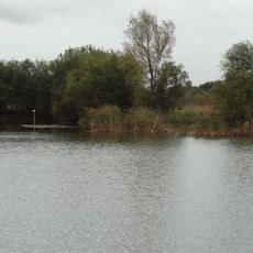
Most town cores sit along the rail lines running east and are easy to reach on foot from their respective stations. Between the centers stretch quiet residential streets and open green spaces that are simpler to explore by bus or bicycle.
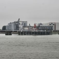
Part of the district lies outside the M25 motorway ring and thus belongs to the few London areas beyond this symbolic city boundary. The eastern edge borders directly on Essex and keeps the character of a transition zone between metropolis and county.
The community of curious travelers
AroundUs brings together thousands of curated places, local tips, and hidden gems, enriched daily by 60,000 contributors worldwide.