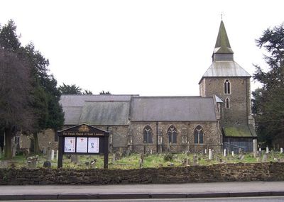
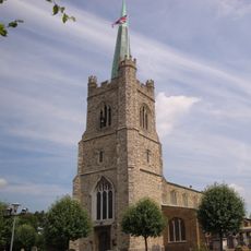
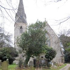
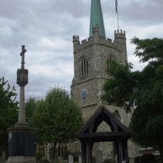
Church of St Laurence, Upminster, Medieval parish church in Upminster, England
The Church of St Laurence is a parish church in Upminster with stone walls, flying buttresses, and a distinctive spire characteristic of Essex architecture. The structure displays building elements spanning from the 13th century through to modern times.
The church was founded in 1201 as a religious centre for the growing settlement of Upminster. Major renovations in 1862 and additional work in 1928 reshaped the interior and brought the building into line with later architectural styles.
The church serves as a gathering place for Upminster residents and reflects the religious traditions that have shaped local life for generations. Visitors notice how actively the community uses the building and how it remains woven into the fabric of daily life here.
The church welcomes visitors during regular service times and other opening hours, with worship available both in person and remotely. It is best to check opening times in advance as this remains an active place of worship and community use.
The church tower was used in 1661 by Reverend William Derham to conduct experiments measuring the speed of sound, contributing to early scientific understanding. This chapter from the history of science gives the tower special significance for those interested in the development of physics.
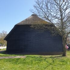
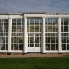
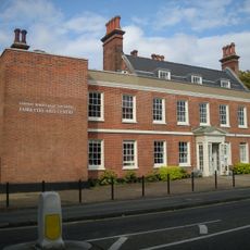
The community of curious travelers
AroundUs brings together thousands of curated places, local tips, and hidden gems, enriched daily by 60,000 contributors worldwide.