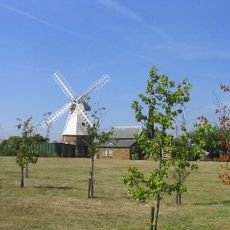
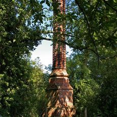
South Ockendon Windmill, Ruined smock mill in South Ockendon, United Kingdom.
South Ockendon Windmill was a smock mill built on an octagonal brick base with two stories, roughly 8 meters wide and standing about 18 meters tall overall. The structure combined wind power with a waterwheel mechanism for grinding grain.
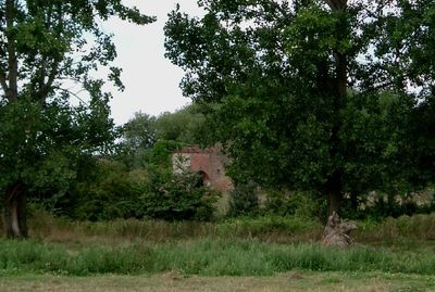
The mill was constructed in the 1820s and operated with both wind and water power systems working as dual mechanisms. Operations ceased in 1923, after which the building gradually deteriorated into its ruined state.
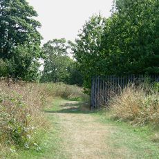
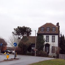
The location reflects how windmills once anchored English communities as working centers where grain was processed and traded. Walking around the remains gives a sense of how such structures shaped daily routines and local commerce in earlier times.
The site exists today as a ruined structure with limited standing remains visible from the surrounding area. Visitors should approach carefully as the ruins may have safety concerns and the accessible viewing area can vary depending on current site conditions.
The mill was equipped with four sails in dual configurations spanning roughly 20 meters, powered by an eight-bladed fantail that automatically adjusted to wind direction. This arrangement of twin and single sail designs provided flexibility in how the mill responded to changing wind conditions.
The community of curious travelers
AroundUs brings together thousands of curated places, local tips, and hidden gems, enriched daily by 60,000 contributors worldwide.