
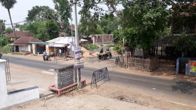
Kharar, town in Paschim Medinipur district, Medinipur division, West Bengal, India
Location: Ghatal subdivision
Elevation above the sea: 6 m
GPS coordinates: 22.70000,87.68000
Latest update: March 16, 2025 09:25
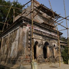
Santinath Shiva temple
6.6 km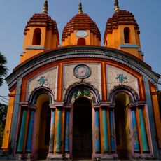
Raghunathjiu temple
10 km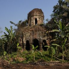
Raghunathjiu temple of Hajari family
10.8 km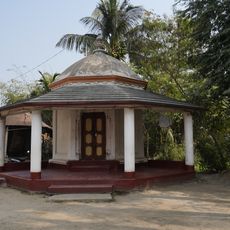
Radhagobinda temple
6.9 km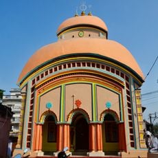
Sitalananda Shiva temple
6.7 km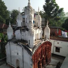
Vrindaban Chandra temple
7.1 km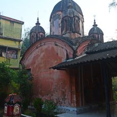
Shridhar temple
6.1 km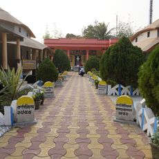
Vidyasagar Smriti Mandir
3 km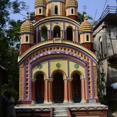
Nabaratna temple of Bhuinya family
5.2 km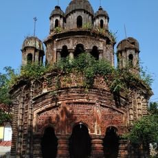
Banka Rai temple
10.5 km
Radha Damodar temple
6.3 km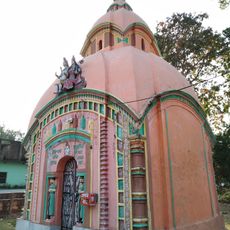
Buro Shiva temple
2.7 km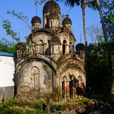
Sitala temple
2.5 km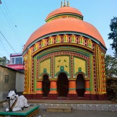
Khargeshwar Shiva temple
6.3 km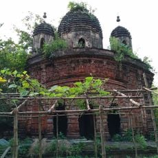
Singhabahini temple
3.1 km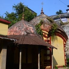
Singhabahini temple
6.8 km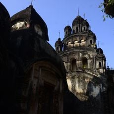
Sita Rama temple
2.4 km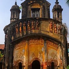
Shridharjiu temple
8.1 km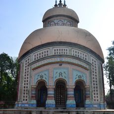
Umapati Shiva temple
5.8 km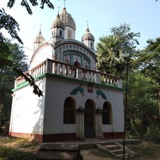
Shridharjiu temple
7.1 km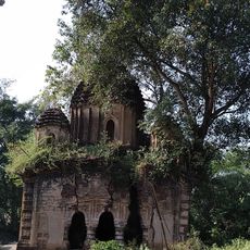
Gopinath temple
4 km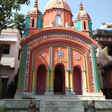
Shridhar temple
10.4 km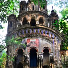
Shridhar temple
4.9 km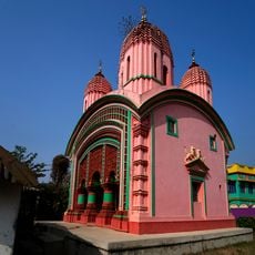
Shitala temple of Hazra family
10.1 km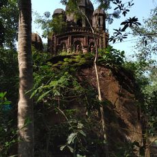
Raghunath temple
8.2 km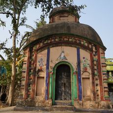
Rameshwar Shiva temple
10.2 km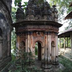
Rasmancha of Shridhar temple
4.9 km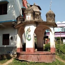
Rasmancha of Shridhar temple
10.4 kmVisited this place? Tap the stars to rate it and share your experience / photos with the community! Try now! You can cancel it anytime.
Discover hidden gems everywhere you go!
From secret cafés to breathtaking viewpoints, skip the crowded tourist spots and find places that match your style. Our app makes it easy with voice search, smart filtering, route optimization, and insider tips from travelers worldwide. Download now for the complete mobile experience.

A unique approach to discovering new places❞
— Le Figaro
All the places worth exploring❞
— France Info
A tailor-made excursion in just a few clicks❞
— 20 Minutes