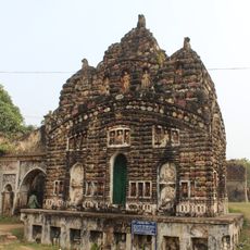
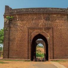
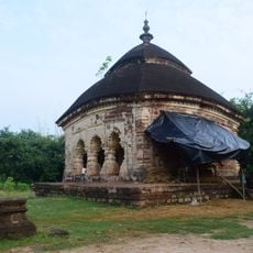
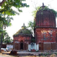
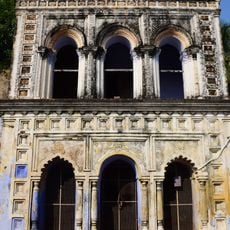
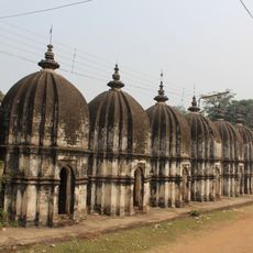
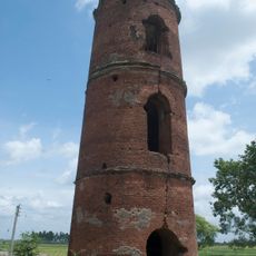
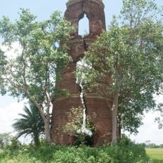
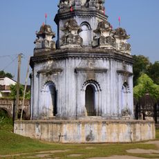
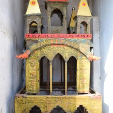
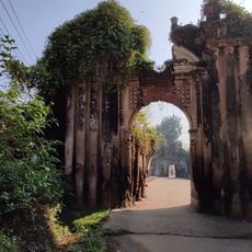
Onda community development block, community development block in India
Location: Bankura Sadar subdivision
Elevation above the sea: 74 m
Shares border with: Bankura I community development block, Bankura II community development block, Bishnupur community development block, Indpur community development block, Taldangra community development block
GPS coordinates: 23.13000,87.20000
Latest update: March 3, 2025 16:46
Rasmancha
14.3 km
Siddheshwar temple
5.4 km
Shyamrai Temple
14.3 km
Malleshwar Temple
13.5 km
Madan Gopal Temple
12.9 km
Murali Mohan Temple
13.2 km
Lalji Temple
14.4 km
Radha Shyam Temple
14.4 km
Radha Binod Temple
14.2 km
Sridhar Temple
12.7 km
Madan Mohan Temple
13.8 km
Surya temple
12.2 km
Girigovardhan Temple
8.4 km
Gate of Old Fort
14.3 km
Gour Nitai temple
11.7 km
Radha-Krishna temple
6.6 km
Durga dalan of Bandopadhyay Debottar Estate
8.4 km
Jhulan temple
8.4 km
Small gateway of fort
14.3 km
Stone chariot
14.3 km
Radha Damodar and Bangshi Gopal temple
8.4 km
12 Shiva temples
8.4 km
Ondagram semaphore tower
1.9 km
Ramsagar semaphore tower
7.7 km
Rangamani Ras Mancha
8.4 km
Ratha of Bandopadhyay debottar estate
8.4 km
Front gate of Bandopadhyay Debottar Estate
8.4 km
Back gate of Bandopadhyay Debottar Estate
8.4 kmReviews
Visited this place? Tap the stars to rate it and share your experience / photos with the community! Try now! You can cancel it anytime.
Discover hidden gems everywhere you go!
From secret cafés to breathtaking viewpoints, skip the crowded tourist spots and find places that match your style. Our app makes it easy with voice search, smart filtering, route optimization, and insider tips from travelers worldwide. Download now for the complete mobile experience.
A unique approach to discovering new places❞
— Le Figaro
All the places worth exploring❞
— France Info
A tailor-made excursion in just a few clicks❞
— 20 Minutes