
Camairago, settlement in the Italian municipality of Castelgerundo
Location: Castelgerundo
Capital city: Camairago
Elevation above the sea: 53 m
Website: http://www.comune.camairago.lo.it
Shares border with: Castiglione d’Adda, Cavacurta, Codogno, Formigara, Pizzighettone, Terranova dei Passerini
Website: http://comune.camairago.lo.it
GPS coordinates: 45.20611,9.72833
Latest update: March 10, 2025 06:14
Trecchi Castle
5.2 km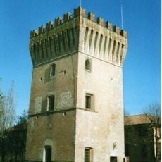
Pizzighettone Castle
4.6 km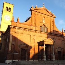
San Biagio e Santa Maria Immacolata Church
5.4 km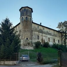
Pallavicini Serbelloni Castle
3.4 km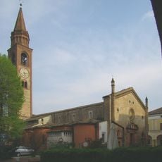
San Bassano
4.8 km
Madonna della Fontana Sanctuary
631 m
Borromeo Castle
141 m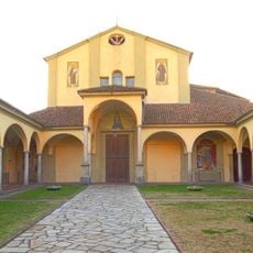
Santa Maria delle Grazie Church
5.6 km
Boccaserio bridge
5.8 km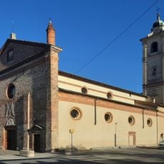
Incoronata Church
2.9 km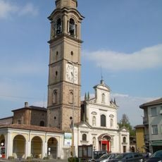
Santi Gervasio e Protasio
5.1 km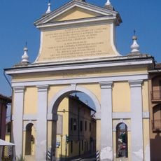
Trecchi Arch
5.1 km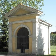
San Rocco Chapel
5.4 km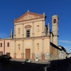
Annunciata Church
3.2 km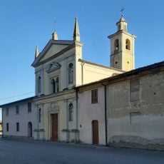
San Bernardino da Siena Church
3.5 km
Torre del Guado
4.6 km
San Giacomo Maggiore Apostolo Church
4.1 km
Cemetery of Castiglione d'Adda
3.8 km
Santa Maria Assunta Church
3.3 km
Torre del Guado
4.6 km
San Pietro
4.5 km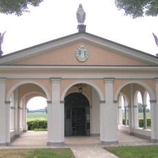
Madonna della Fontana Chapel
702 m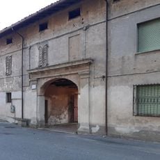
Cascina San Bernardino
3.6 km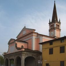
Santi Rocco e Sebastiano Church
4.4 km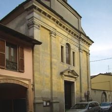
San Marcello Church
4.5 km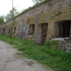
Pizzighettone City Walls
4.9 km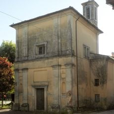
Natività della Beata Vergine Maria Oratory
4.1 km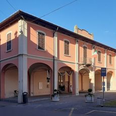
Former town hall
3.2 kmReviews
Visited this place? Tap the stars to rate it and share your experience / photos with the community! Try now! You can cancel it anytime.
Discover hidden gems everywhere you go!
From secret cafés to breathtaking viewpoints, skip the crowded tourist spots and find places that match your style. Our app makes it easy with voice search, smart filtering, route optimization, and insider tips from travelers worldwide. Download now for the complete mobile experience.

A unique approach to discovering new places❞
— Le Figaro
All the places worth exploring❞
— France Info
A tailor-made excursion in just a few clicks❞
— 20 Minutes