
Cella Dati, Italian comune
Location: Province of Cremona
Capital city: Cella Dati
Elevation above the sea: 34 m
Shares border with: Derovere, Motta Baluffi, Pieve San Giacomo, San Daniele Po, Sospiro, Cingia de' Botti
Website: http://comune.celladati.cr.it
GPS coordinates: 45.10000,10.21667
Latest update: May 5, 2025 21:43
Villino Sommi Picenardi
7.5 km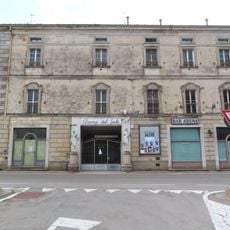
Teatro Arena del Sole
10.3 km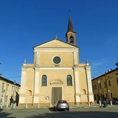
Santi Bartolomeo e Michele (Roccabianca)
10.2 km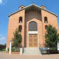
Madonna della Fiducia Sanctuary
6.8 km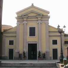
San Siro Church
4.9 km
Sant’Ambrogio Church
7.4 km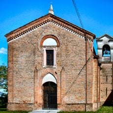
Natività di Maria Sanctuary
9.5 km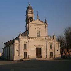
San Geminiano
7.4 km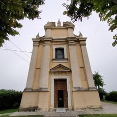
Santa Maria Madre della Parola Divina Sanctuary
2.9 km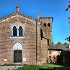
Chiesa di Santa Maria della Pace (Scandolara Ravara)
7.8 km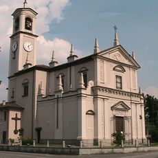
San Pancrazio Church
6.6 km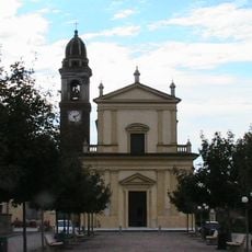
Sant’Agata Church
8.3 km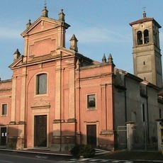
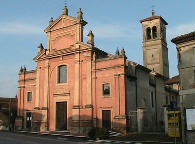
Chiesa di Santa Maria Assunta
600 m
Santa Maria Assunta Church
8.5 km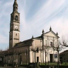
San Giorgio Church
2.8 km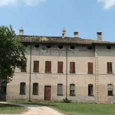
Villa Pallavicino
8.4 km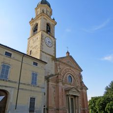
San Giovanni Battista
10.8 km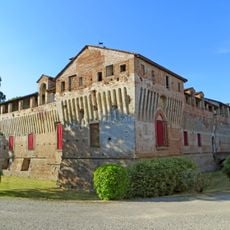
Castello di Roccabianca
10.1 km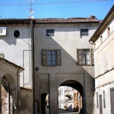
Porta di Castelponzone
8.5 km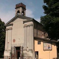
San Michele Church
8.1 km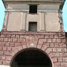
Villa Piva
3.1 km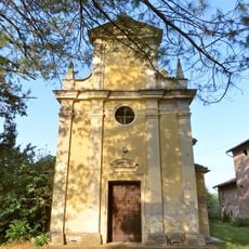
Chiesa della Assunzione di Maria Vergine
10.4 km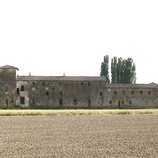
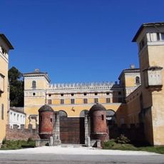
Cascina Castello
4.4 km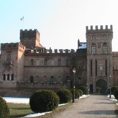
Villa Sommi Picenardi
8.7 km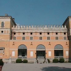
Villa Sommi Picenardi
7.5 km
Golena del Po presso Zibello
9.7 km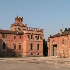
Castello di Cicognolo
7.5 km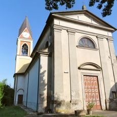
Chiesa dei Santi Cipriano e Giustina
9.4 kmReviews
Visited this place? Tap the stars to rate it and share your experience / photos with the community! Try now! You can cancel it anytime.
Discover hidden gems everywhere you go!
From secret cafés to breathtaking viewpoints, skip the crowded tourist spots and find places that match your style. Our app makes it easy with voice search, smart filtering, route optimization, and insider tips from travelers worldwide. Download now for the complete mobile experience.

A unique approach to discovering new places❞
— Le Figaro
All the places worth exploring❞
— France Info
A tailor-made excursion in just a few clicks❞
— 20 Minutes