
Londa, Italian comune
Location: Metropolitan City of Florence
Capital city: Londa
Elevation above the sea: 226 m
Shares border with: Dicomano, Rufina, San Godenzo, Pratovecchio Stia
Website: https://comune.londa.fi.it
GPS coordinates: 43.85252,11.59755
Latest update: March 13, 2025 02:14

Sant'Onofrio
7.2 km
San Giovanni Battista a Sandetole
5.3 km
Sant'Antonio Abate
7 km
Sant'Elena a Rincine
1.7 km
Santa Maria a Caiano
1.3 km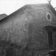
Oratorio della Santissima Annunziata
7.2 km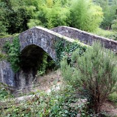
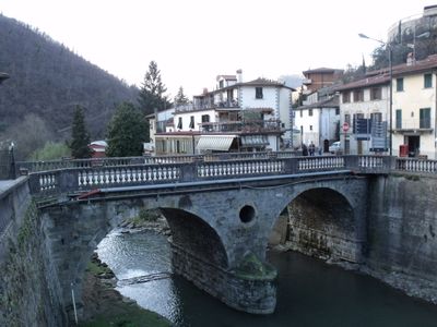
Londa medieval bridge
2.8 km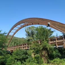
Bridge of the pista ciclo-pedonale
6.6 km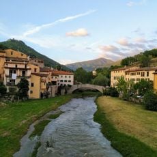
Ponte Vecchio
7.1 km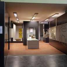
Archaeological museum of Mugello and Val di Sieve
7.3 km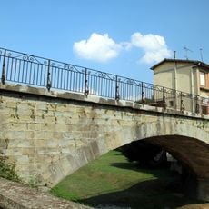
Ponte Via Cesare Battisti
7.2 km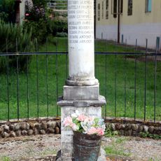
Memorial stone in Contea
5.5 km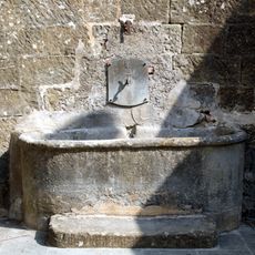
Fontana La Pilla
7.1 km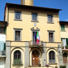
Palazzo Comunale
2.6 km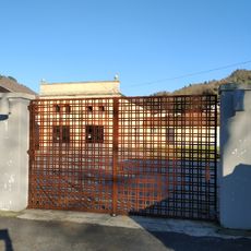
Area Ex Macelli
7.2 km
Palazzo Comunale
7.3 km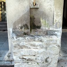
Water fountain
7.2 km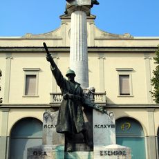
Monumento ai caduti in Piazza della Repubblica
7.3 km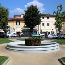
Fontane di Piazza della Repubblica
7.3 km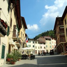
Piazza Umberto I
2.6 km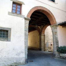
Portico di accesso a Piazza Umberto I
2.7 km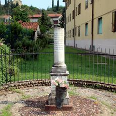
Cippo di Contea
5.5 km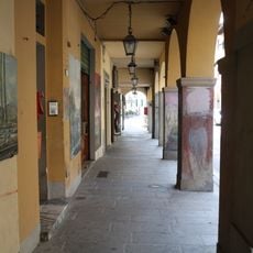
Loggiato Via Dante Alighieri
7.2 km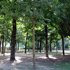
Parco Albereta
7.3 km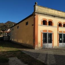
Teatro Ex-Macelli
7.2 km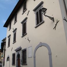
Palazzo Centro anziani
7.2 km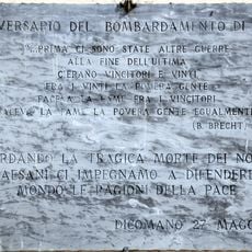
Plaque of the bombing of Dicomano
7.2 km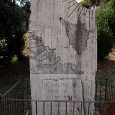
Monumento ai caduti
7.2 kmVisited this place? Tap the stars to rate it and share your experience / photos with the community! Try now! You can cancel it anytime.
Discover hidden gems everywhere you go!
From secret cafés to breathtaking viewpoints, skip the crowded tourist spots and find places that match your style. Our app makes it easy with voice search, smart filtering, route optimization, and insider tips from travelers worldwide. Download now for the complete mobile experience.

A unique approach to discovering new places❞
— Le Figaro
All the places worth exploring❞
— France Info
A tailor-made excursion in just a few clicks❞
— 20 Minutes