
Aldein, municipality in South Tyrol, Italy
Location: South Tyrol
Capital city: Aldein
Elevation above the sea: 1,225 m
Shares border with: Montan an der Weinstraße, Auer, Truden im Naturpark, Bronzolo, Deutschnofen, Ville di Fiemme
Website: http://gemeinde.aldein.bz.it
GPS coordinates: 46.36667,11.35000
Latest update: March 4, 2025 22:09
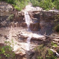
Bletterbach
6.5 km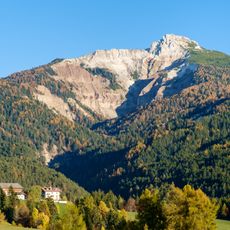
Weißhorn
7.3 km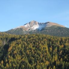
Schwarzhorn
8.8 km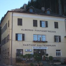
Gasthof Kaltenbrunn
4.5 km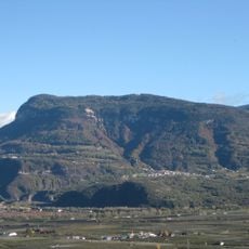
Cislon
4.1 km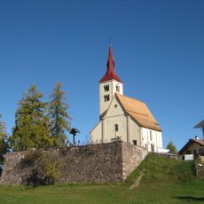
Saint Peter church
4.7 km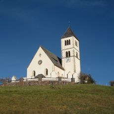
Saint Wolfgang church
4.3 km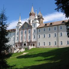
Servite Monastery Maria Weißenstein
5.6 km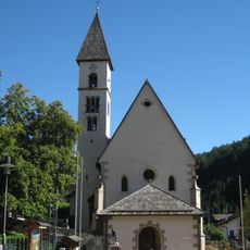
St. Blaise
5 km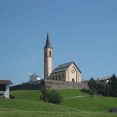
Finding of the True Cross church
389 m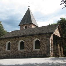
Saint Francis church
2.3 km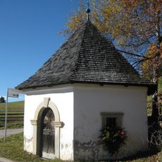
Kapelle beim Scheidner
2.5 km
Kapelle beim Hof am Pichl
7.9 km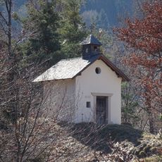
Our Lady chapel
2.3 km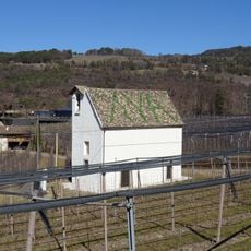
Loreto chapel
3.3 km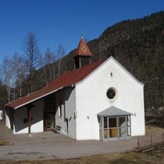
Saint Joseph church
4.4 km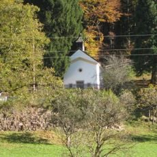
Our Lady of Help chapel
4.2 km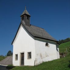
Altwidum chapel
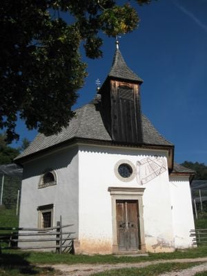
734 m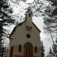
Leonard's chapel in Maria Weißenstein
6.4 km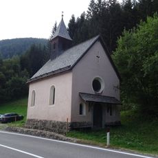
Our Lady of Help chapel
9.2 km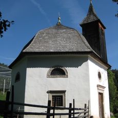
Saint Mary of the Snow chapel
1.4 km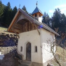
Saint Martin chapel
5 km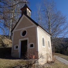
Lourdeskapelle in Radein
4.7 km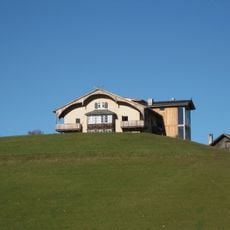
Zirmerhof
4 km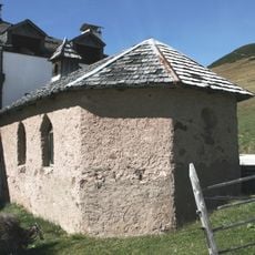
Saint Mary of the Snow chapel
8 km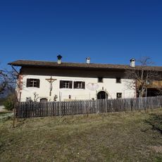
Rothenhof in Kalditsch
3.3 km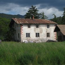
Ebner in Eich
2.3 km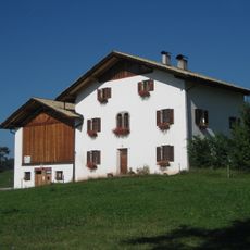
Messner in Aldein
200 mReviews
Visited this place? Tap the stars to rate it and share your experience / photos with the community! Try now! You can cancel it anytime.
Discover hidden gems everywhere you go!
From secret cafés to breathtaking viewpoints, skip the crowded tourist spots and find places that match your style. Our app makes it easy with voice search, smart filtering, route optimization, and insider tips from travelers worldwide. Download now for the complete mobile experience.

A unique approach to discovering new places❞
— Le Figaro
All the places worth exploring❞
— France Info
A tailor-made excursion in just a few clicks❞
— 20 Minutes