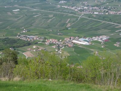
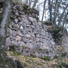
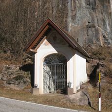
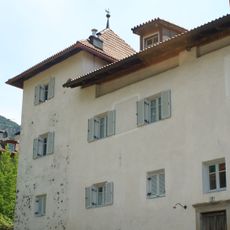
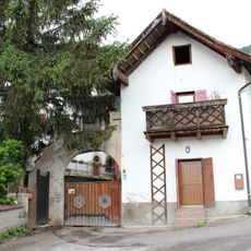
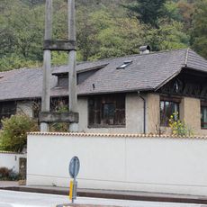
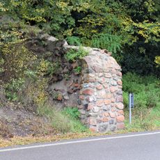
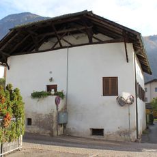
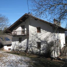
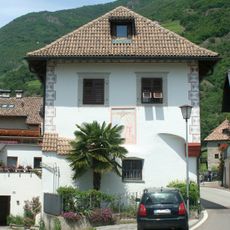
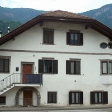
Andrian, municipality in South Tyrol, Italy
Location: South Tyrol
Capital city: Andrian
Elevation above the sea: 285 m
Shares border with: Eppan an der Weinstraße, Terlan, Nals
Website: http://gemeinde.andrian.bz.it
GPS coordinates: 46.51762,11.23137
Latest update: March 21, 2025 22:42
Festenstein Castle
1.2 km
Wolfsthurn Castle
642 m
Assumption of Mary church
1.9 km
Andrian Castle
713 m
Fourteen Holy Helpers church
1.7 km
Saints Vigilius and Ulrich church
2.2 km
Library Terlano
2.1 km
St. Valentine
234 m
Kreidenturm
2.6 km
Immaculate Conception church
2.3 km
Wegkapelle in Perdonig
2.3 km
Tratter in Gaid
1.6 km
Haller in Kreut
2.7 km
Wolfsthurnhof
449 m
Villa Silbernagl
85 m
Pfarrwidum Terlan
2 km
Marstallstadel
2.1 km
Klause unter Neuhaus
1.9 km
Benefiziatenhaus Terlan
2 km
Gasthof Schwarzer Adler
172 m
Haller in Klaus
2 km
Mair in Gaid
1.7 km
Lechenegg
2.5 km
Kreuzweger in Kreut
2.6 km
Gasthof Engl
2.3 km
Tinner in Gaid
2.1 km
Saltner in Gaid
1.9 km
Köstenholz mit Park
2.5 kmReviews
Visited this place? Tap the stars to rate it and share your experience / photos with the community! Try now! You can cancel it anytime.
Discover hidden gems everywhere you go!
From secret cafés to breathtaking viewpoints, skip the crowded tourist spots and find places that match your style. Our app makes it easy with voice search, smart filtering, route optimization, and insider tips from travelers worldwide. Download now for the complete mobile experience.
A unique approach to discovering new places❞
— Le Figaro
All the places worth exploring❞
— France Info
A tailor-made excursion in just a few clicks❞
— 20 Minutes