
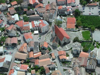
Schluderns, municipality in South Tyrol, Italy
Location: South Tyrol
Elevation above the sea: 921 m
Shares border with: Glurns, Laas, Prad am Stilfserjoch, Mals
Website: http://comune.sluderno.bz.it/system/web/default.aspx?sprache=3
GPS coordinates: 46.66454,10.58482
Latest update: March 16, 2025 19:41
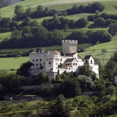
Churburg
319 m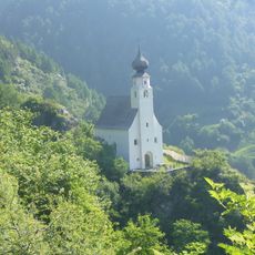
St. Peter
5.8 km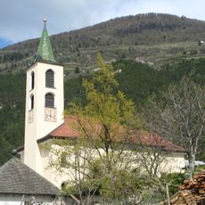
St. Remigius
6.3 km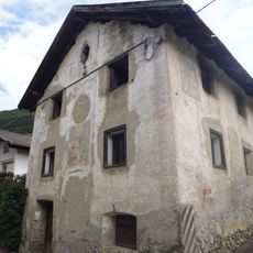
St. Josef
6.2 km
St. Catherine
76 m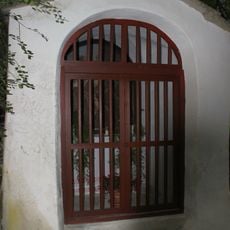
Kalvarienbergkapellen
258 m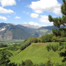
Museo della Val Venosta
127 m
St. Michael
75 m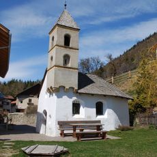
Dreifaltigkeitskapelle in Gschneir
2.9 km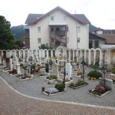
Cemetery of Schluderns
87 m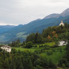
St. Christina
3.8 km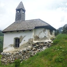
Kapelle beim Greinhof
1.6 km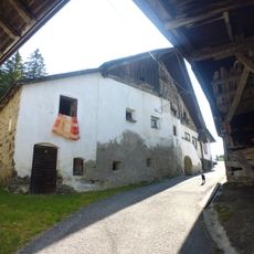
Kapelle Hof Obertels
4.5 km
Köpflplatte
4 km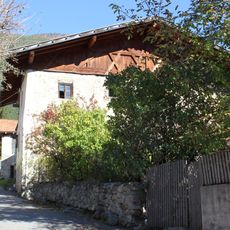
Voglsang
6.3 km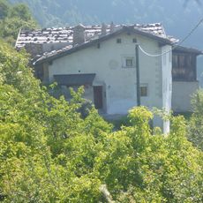
Galministein
5.6 km
Gsal
5.6 km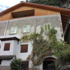
Ölberghaus
215 m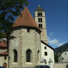
St. Katharina, St. Michael and cemetery in Schluderns
75 m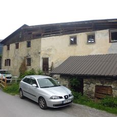
Altes Gerichtshaus
133 m
In der Kohlstatt
162 m
Großhaus
46 m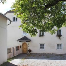
Pfarrwidum
56 m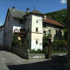
Fritzen
188 m
Hof Obertels
4.5 km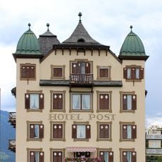
Posthotel Hirsch
4.1 km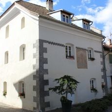
Benefiziatengut
74 m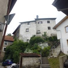
Knottenhaus
119 mVisited this place? Tap the stars to rate it and share your experience / photos with the community! Try now! You can cancel it anytime.
Discover hidden gems everywhere you go!
From secret cafés to breathtaking viewpoints, skip the crowded tourist spots and find places that match your style. Our app makes it easy with voice search, smart filtering, route optimization, and insider tips from travelers worldwide. Download now for the complete mobile experience.

A unique approach to discovering new places❞
— Le Figaro
All the places worth exploring❞
— France Info
A tailor-made excursion in just a few clicks❞
— 20 Minutes