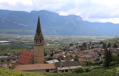
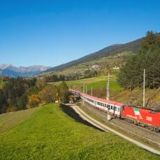
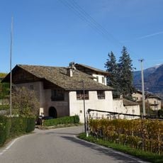
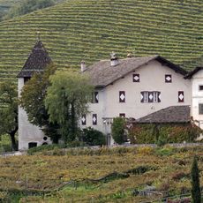
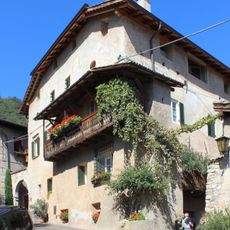
Tramin an der Weinstraße, municipality in South Tyrol, Italy
Location: South Tyrol
Elevation above the sea: 276 m
Shares border with: Amblar-Don, Predaia, Kurtatsch an der Weinstraße, Neumarkt, Montan an der Weinstraße, Sfruz, Vadena, Kaltern an der Weinstraße, Auer
Website: https://gemeinde.tramin.bz.it
GPS coordinates: 46.34151,11.24228
Latest update: March 7, 2025 07:38
Brenner Railway
3.8 km
Unterspaur
490 m
St. Jacob's Church, Kastelaz
331 m
St. Mary
3.6 km
St. Cyricus and Julitta
153 m
Rifugio Oltradige/Überetscher Hütte
4.3 km
Schloss Nussegg
4.3 km
Ansitz Freienfeld
3.4 km
Ansitz Strehlburg
3.8 km
Ansitz Langenmantel
314 m
Saint Nicholas church
4 km
St. Valentin am Friedhof
1.1 km
Palais Longo
4 km
Ansitz Fohrhof
3.6 km
Saint Maurice church
2 km
Ansitz Baron von Widmann
3.6 km
Ansitz Nussdorf
4 km
Ansitz Eberlehof
3.4 km
Saint Vigilius church
3.5 km
Saint Joseph church
1.5 km
Saint George church
3 km
Cemetery of Kurtatsch
3.2 km
Kapuzinerkirche
3.9 km
Rathaus
3.9 km
Ortenburg
3.7 km
Andreas-Hofer-Straße 19-21-23
754 m
Chapel in Rungg
1.9 km
Fleimstaler Straße 27
4 kmVisited this place? Tap the stars to rate it and share your experience / photos with the community! Try now! You can cancel it anytime.
Discover hidden gems everywhere you go!
From secret cafés to breathtaking viewpoints, skip the crowded tourist spots and find places that match your style. Our app makes it easy with voice search, smart filtering, route optimization, and insider tips from travelers worldwide. Download now for the complete mobile experience.
A unique approach to discovering new places❞
— Le Figaro
All the places worth exploring❞
— France Info
A tailor-made excursion in just a few clicks❞
— 20 Minutes