
Hardstenen grenspaal ter afscheiding van de heerlijkheid Hees en Leen enerzijds en de baronie Cranendonck anderzijds
Hardstenen grenspaal ter afscheiding van de heerlijkheid Hees en Leen enerzijds en de baronie Cranendonck anderzijds
Location: Cranendonck
Part of: political border
Address: Tussen Groenstraat en Kranenveld
GPS coordinates: 51.30457,5.53890
Latest update: April 24, 2025 20:07
Wire of Death
2.6 km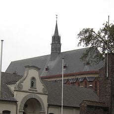
Achel Abbey
3.6 km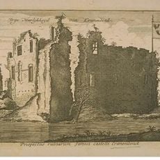
Cranendonck Castle
3.5 km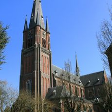
Onze-Lieve-Vrouw Visitatiekerk (Budel)
4.1 km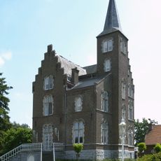
Kasteel Beverbeek
3.5 km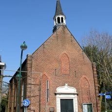
Het Kerkje
4.2 km
Achelse Kluis
3.6 km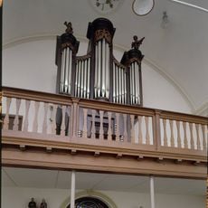
Johannes de Doper
2.5 km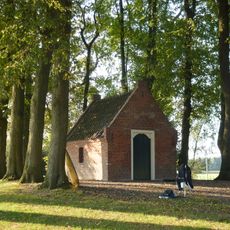
Saint John Chapel
3.4 km
Heimolen
3.7 km
Zeldenrust
4.7 km
Grevenbroekmolen
4.5 km
Sint-Corneliuskapel
2.5 km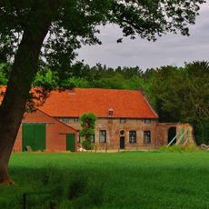
Beverbeekhoeve
3.4 km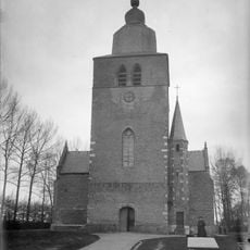
Oude Onze-Lieve-Vrouw Visitatiekerk
4.1 km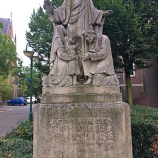
Statue of Sacred Heart of Jesus Christ
4.1 km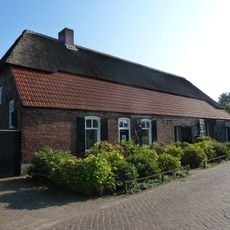
Langgevelboerderij annex brouwerij
3.2 km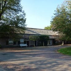
Zaalstraat 1, Leende
3.1 km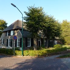
Strijperstraat 38, Leende
3.3 km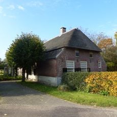
Riesten 2, Leende
3 km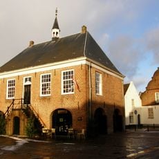
Schepenhuis
4.2 km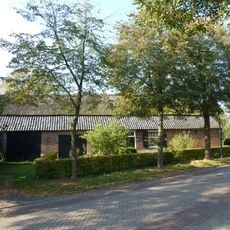
Strijperstraat 42, Leende
3.2 km
Strijperstraat 44, Leende
3.2 km
Dorpsstraat 44, Soerendonk
2.5 km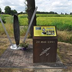
Crashmonument
4.4 km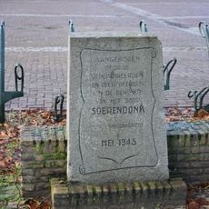
Verzetsmonument
2.4 km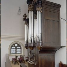
R.K. kerk H. Johannes de Doper vanwege orgel
2.4 km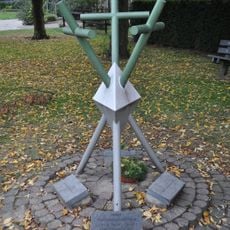
Oorlogsmonument
2.5 kmReviews
Visited this place? Tap the stars to rate it and share your experience / photos with the community! Try now! You can cancel it anytime.
Discover hidden gems everywhere you go!
From secret cafés to breathtaking viewpoints, skip the crowded tourist spots and find places that match your style. Our app makes it easy with voice search, smart filtering, route optimization, and insider tips from travelers worldwide. Download now for the complete mobile experience.

A unique approach to discovering new places❞
— Le Figaro
All the places worth exploring❞
— France Info
A tailor-made excursion in just a few clicks❞
— 20 Minutes