
Harma Hoeve, Rijksmonument op Beetserweg 34
Location: Vlagtwedde
Address: Beetserweg 34
GPS coordinates: 52.94204,7.11389
Latest update: May 24, 2025 07:41
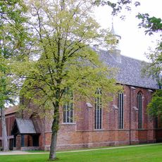
Ter Apel Monastery
7.8 km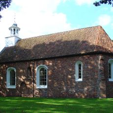
Kerk van Sellingen
2.3 km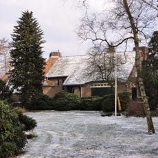
Boerderij Berkenhoeve, Valthermond
7.9 km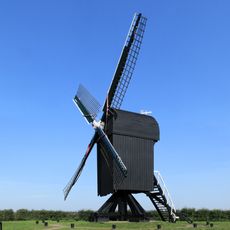
Standerdmolen Ter Haar
5.7 km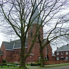
Sint Josephkerk
6.5 km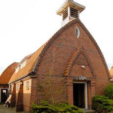
Zaalkerk
6.9 km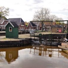
5e Verlaat
7.3 km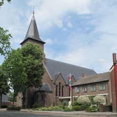
Sint-Antoniuskerk
7.7 km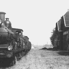
Station Ter Apelkanaal-Vetstukkenmond
6.8 km
Onze-Lieve-Vrouw van Lourdeskerk
3.8 km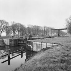
Ter Apelersluis
7.4 km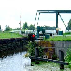
Wollinghuizersluis
6.1 km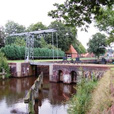
6e Verlaat
5.3 km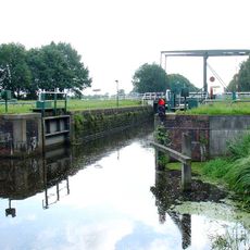
Jipsinghuizersluis
4.8 km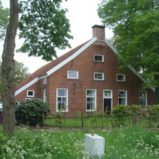
Weenderstraat 19, Sellingen
4.9 km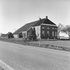
Weenderstraat 47, Weende
6.7 km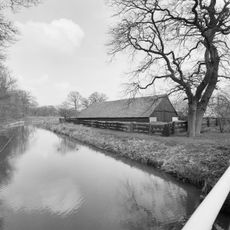
Schaapskooi onder op staanders rustend en met pannen belegd dak
1.1 km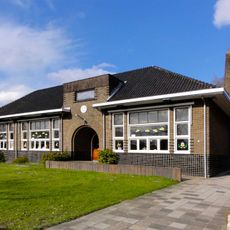
Lagere school met erfafscheiding
7 km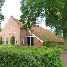
Borgerweg 3, Ter Borg
1.2 km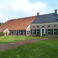
Borgerweg 4, Ter Borg
1.2 km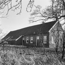
Sellingerstraat 5, Ter Wisch
3.6 km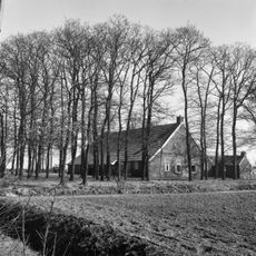
Veenweg 41, Laudermarke
5.8 km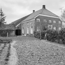
Weenderstraat 53, Weende
6.9 km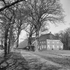
Walsterarve
2.2 km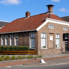
Sluizencomplex, Stadskanaal
7.3 km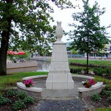
Oorlogsmonument
6.7 km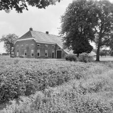
Weenderstraat 46, Weende
6.5 km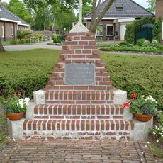
Oorlogsmonument
5.4 kmReviews
Visited this place? Tap the stars to rate it and share your experience / photos with the community! Try now! You can cancel it anytime.
Discover hidden gems everywhere you go!
From secret cafés to breathtaking viewpoints, skip the crowded tourist spots and find places that match your style. Our app makes it easy with voice search, smart filtering, route optimization, and insider tips from travelers worldwide. Download now for the complete mobile experience.

A unique approach to discovering new places❞
— Le Figaro
All the places worth exploring❞
— France Info
A tailor-made excursion in just a few clicks❞
— 20 Minutes