
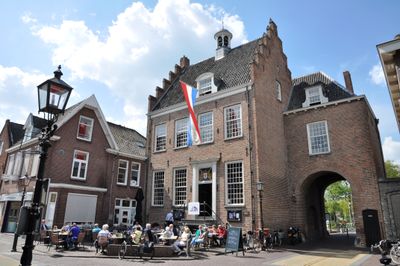
Stadhuis van Montfoort, Rathaus in den Niederlanden
Location: Montfoort
Part of: city wall of Montfoort
Address: Hoogstraat 36
GPS coordinates: 52.04590,4.94847
Latest update: November 2, 2025 20:40
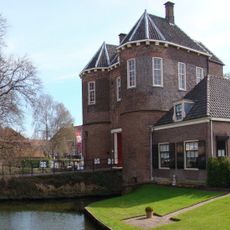
Kasteel Montfoort
183 m
Grote of Sint-Janskerk
86 m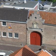
Commanderie van Sint-Jan, Montfoort
56 m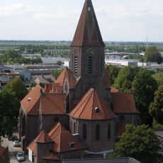
Birth of Saint John the Baptist
202 m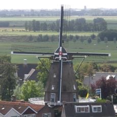
De Valk
359 m
Willeskopper stier
694 m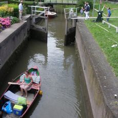
Schutsluis Montfoortse Vaart
48 m
Waterpoort
110 m
De handreiking
213 m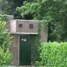
Transformatorhuisje Julianalaan 3
378 m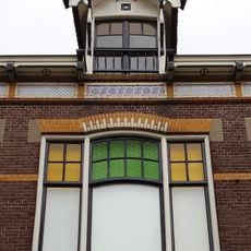
De Rookende Moor
48 m
Hoogstraat 7, Montfoort
55 m
Hoogstraat 30, Montfoort
18 m
Korte Kerkstraat 12, Montfoort
126 m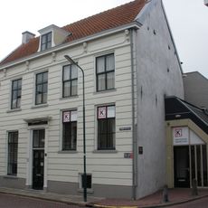
Heiliglevenstraat 4, Montfoort
235 m
Hoogstraat 31, Montfoort
52 m
Hoogstraat 6, Montfoort
90 m
Hofstraat 7, Montfoort
78 m
Overblijfselen van de stadsmuur van Montfoort
302 m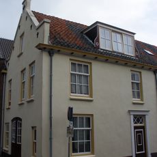
Heiliglevenstraat 1, Montfoort
210 m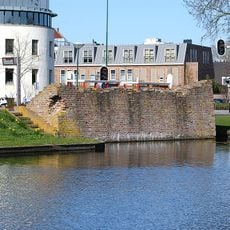
Overblijfselen van het Kasteel Montfoort
234 m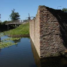
Overblijfselen van de versterkingen, wallen en grachten
302 m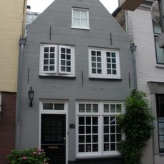
Hoogstraat 28, Montfoort
24 m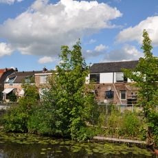
Overblijfselen van de stadsmuur van Montfoort
305 m
Korte Kerkstraat 8
108 m
Herenhuis met rechte kroonlijst
151 m
Overblijfselen van de stadsmuur van Montfoort
358 m
Overblijfselen van de stadsmuur van Montfoort
349 mReviews
Visited this place? Tap the stars to rate it and share your experience / photos with the community! Try now! You can cancel it anytime.
Discover hidden gems everywhere you go!
From secret cafés to breathtaking viewpoints, skip the crowded tourist spots and find places that match your style. Our app makes it easy with voice search, smart filtering, route optimization, and insider tips from travelers worldwide. Download now for the complete mobile experience.

A unique approach to discovering new places❞
— Le Figaro
All the places worth exploring❞
— France Info
A tailor-made excursion in just a few clicks❞
— 20 Minutes