
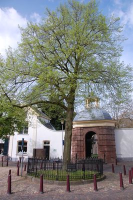
Wilhelminaboom, war memorial in Zutphen, Netherlands
Location: Zutphen
Inception: 1977
Official opening: March 3, 1977
GPS coordinates: 52.13924,6.19442
Latest update: March 3, 2025 17:05

Sint Walburgiskerk
96 m
Librije
126 m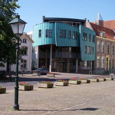
Town hall of Zutphen
97 m
Stadhuis, Zutphen
109 m
Lange Hofstraat 7, Zutphen
130 m
Water van de binnengracht aan de zuidzijde van de oude stadsmuur
81 m
's Gravenhof 22, Zutphen
18 m
's Gravenhof 20, Zutphen
13 m
Bourgonjetoren
67 m
Sint Walburga
70 m
Hoog pand met aan drie zijden omlopend schilddak
71 m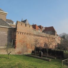
Stadsmuur Zuidelijke Omwalling, Zutphen
47 m
Huize van de Kasteele
56 m
Huis onder schilddak
62 m
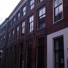
Kuiperstraat 13, Zutphen
92 m
Stedelijk Gymnasium Zutphen
33 m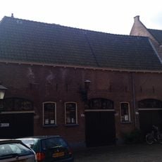
Pakhuisje onder zadeldak achter doorlopend tot het muurhuis
80 m
Kerkhof 18, Zutphen
110 m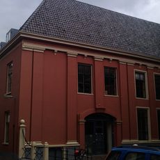
Pand dat deel uitmaakt van complex van drie panden, die drie zijden van een kleine binnenplaats omsluiten
111 m
Kuiperstraat 11, Zutphen
89 m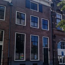
Pand onder schilddak met gevel onder oudere kroonlijst
56 m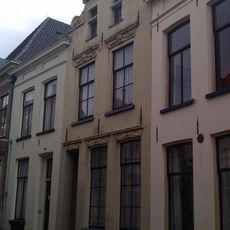
Kuiperstraat 17, Zutphen
92 m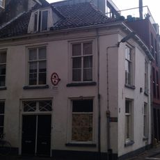
Pand met gevel onder rechte lijst
127 m
Lange Hofstraat 1, Zutphen
102 m
Lange Hofstraat 3, Zutphen
117 m
Huis onder hoog afgewolfd zadeldak
110 m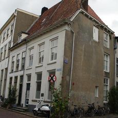
Pand onder hoog afgewolfd zadeldak
105 mReviews
Visited this place? Tap the stars to rate it and share your experience / photos with the community! Try now! You can cancel it anytime.
Discover hidden gems everywhere you go!
From secret cafés to breathtaking viewpoints, skip the crowded tourist spots and find places that match your style. Our app makes it easy with voice search, smart filtering, route optimization, and insider tips from travelers worldwide. Download now for the complete mobile experience.

A unique approach to discovering new places❞
— Le Figaro
All the places worth exploring❞
— France Info
A tailor-made excursion in just a few clicks❞
— 20 Minutes