
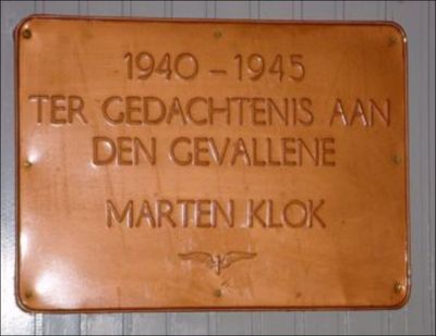
Plaquette in Station Nijkerk, oorlogsmonument in Nijkerk, Nederland
Location: Nijkerk
Inception: 1948
Creator: Hermanus Gerardus Jacob Schelling
Official opening: 1948
GPS coordinates: 52.22224,5.49329
Latest update: March 20, 2025 04:09

Vetkamp 28, Nijkerk
374 m
Eierhal van Nijkerk
332 m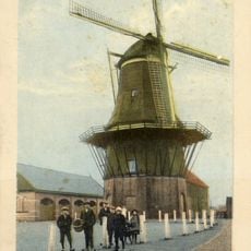
De Oostermolen
316 m
Catharinastraat 3, Nijkerk
583 m
Verlaat 1, Nijkerk
609 m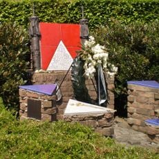
Joods monument
658 m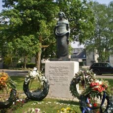
Monument 1940-1945
220 m
Langestraat 37, Nijkerk
509 m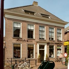
Langestraat 20, Nijkerk
582 m
Langestraat 41, Nijkerk
492 m
Langestraat 2, Nijkerk
648 m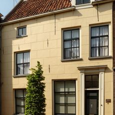
Langestraat 8, Nijkerk
631 m
Vredesmonument
636 m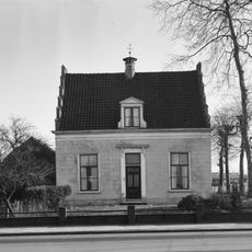
Vetkamp 23, Nijkerk
355 m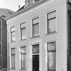
Pand onder schilddak en met in de 19e eeuw gepleisterde lijstgevel, die echter twee ankers uit de bouwtijd van het pand in de bovenhoeken bewaard heeft
543 m
Langestraat 10, Nijkerk
624 m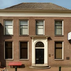
Langestraat 32, Nijkerk
529 m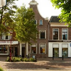
Pand met klokgevel
417 m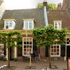
Langestraat 39, Nijkerk
497 m
Langestraat 43, Nijkerk
480 m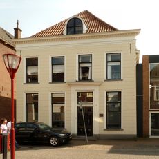
Langestraat 23, Nijkerk
587 m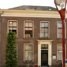
Langestraat 9, Nijkerk
633 m
Hoogstraten
330 m
Langestraat 7, Nijkerk
655 m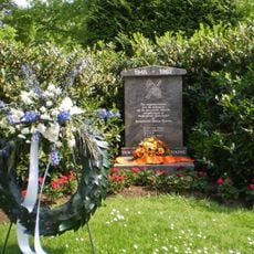
Indië-monument
286 m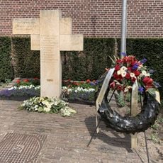
Verzetsmonument
379 m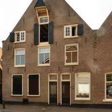
Kleterstraat 1-3, Nijkerk
437 m
Tabakspakhuis
600 mReviews
Visited this place? Tap the stars to rate it and share your experience / photos with the community! Try now! You can cancel it anytime.
Discover hidden gems everywhere you go!
From secret cafés to breathtaking viewpoints, skip the crowded tourist spots and find places that match your style. Our app makes it easy with voice search, smart filtering, route optimization, and insider tips from travelers worldwide. Download now for the complete mobile experience.

A unique approach to discovering new places❞
— Le Figaro
All the places worth exploring❞
— France Info
A tailor-made excursion in just a few clicks❞
— 20 Minutes