
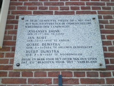
Plaquette aan het voormalige stadhuis, war memorial in Zwaag, the Netherlands
Location: Hoorn
Address: Dorpsstraat 131, 1689 ET, Zwaag (Hoorn), Noord-Holland, Nederland
GPS coordinates: 52.66676,5.06913
Latest update: March 7, 2025 04:01
De Westfries
2.3 km
Vue Hoorn
2.3 km
City Hall, Hoorn, the Netherlands
1.3 km
H.H. Engelbewaarderskerk, Hoorn
2.2 km
Poppodium Manifesto
1.8 km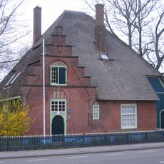
De Barmhartige Samaritaan
2 km
Dorpskerk
1.5 km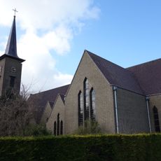
Martinuskerk
533 m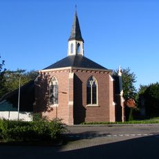
Lourdeskapel
478 m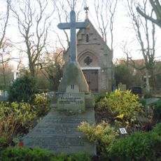
Rooms-katholieke begraafplaats Drieboomlaan
2 km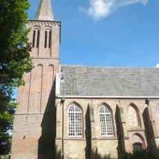
Sint-Maartens- of Dorpskerk
248 m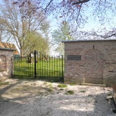
Augustinerchorfrauen Westerblokker, Niederlande
1.4 km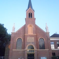
Michaël church
1.7 km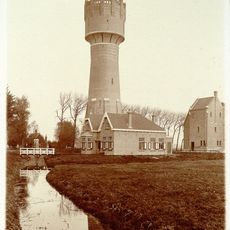
Watertoren Hoorn
2.4 km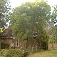
Farmhous Buitenrust
1.2 km
Nieuwlicht
699 m
Het Octaaf
2.5 km
De Krijgsman
2.1 km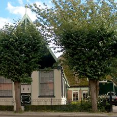
Farm house Lindenplaats. Stolp farm with far pertruding front, with remarkable decorated door and wooden gable top.
1.6 km
Michaëlskerk
1.7 km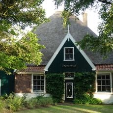
Wulframhoeve
1.6 km
Johannes Poststraat 6
2.5 km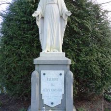
Statue of Sacred Heart of Jesus Christ
1.8 km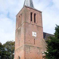
Toren Dorpskerk
1.5 km
Boerderij Buitenrust: veestal
1.2 km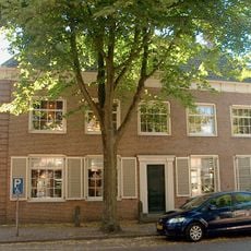
Koepoortweg 29, Hoorn
2.5 km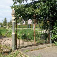
Boerderij Buitenrust: toegangshek
1.2 km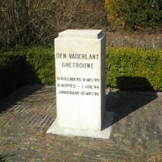
Oorlogsmonument
1.7 kmVisited this place? Tap the stars to rate it and share your experience / photos with the community! Try now! You can cancel it anytime.
Discover hidden gems everywhere you go!
From secret cafés to breathtaking viewpoints, skip the crowded tourist spots and find places that match your style. Our app makes it easy with voice search, smart filtering, route optimization, and insider tips from travelers worldwide. Download now for the complete mobile experience.

A unique approach to discovering new places❞
— Le Figaro
All the places worth exploring❞
— France Info
A tailor-made excursion in just a few clicks❞
— 20 Minutes