
50 jaar na dato, war memorial in Borne, the Netherlands
Location: Borne
Inception: 1993
Creator: Ralph Prins
Official opening: September 9, 1993
Address: Parallelweg, 7622 NB, Borne (Borne), Overijssel, Nederland
GPS coordinates: 52.29931,6.74861
Latest update: March 3, 2025 02:33

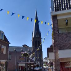
Stephanuskerk
447 m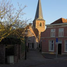
Nederlands Hervormde Kerk, Borne
764 m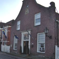
Bussemakerhuis
829 m
Koppelsbrink 32, Borne
900 m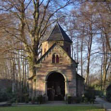
Mariakapel
854 m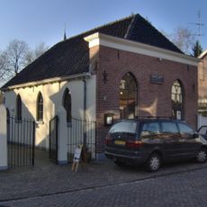
Synagoge (Borne, Overijssel)
835 m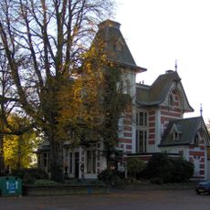
Villa Elisabeth
617 m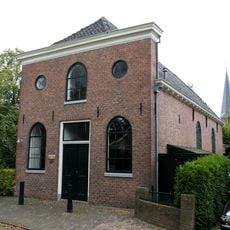
Doopsgezinde kerk, Borne
855 m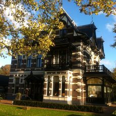
Stationsstraat 74, Borne
257 m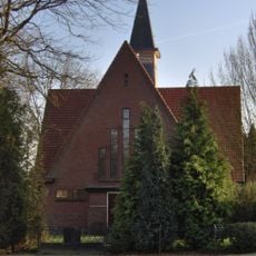
Nieuwe Kerk
494 m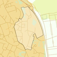
Rijksbeschermd gezicht Borne
834 m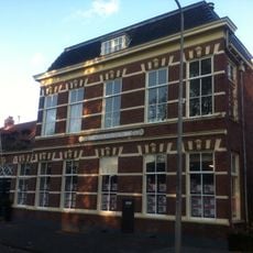
Grotestraat 144, Borne
675 m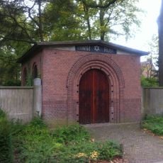
Jewish Cemetery
189 m
Marktstraat 3, Borne
696 m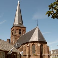
Oude Kerk (Borne), toren
737 m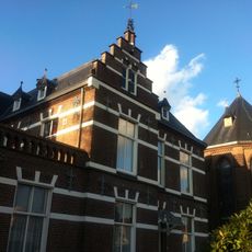
Pastorie Sint Stephanuskerk, Borne
406 m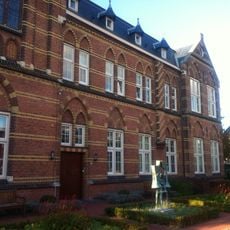
Johannesklooster
361 m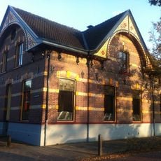
Grotestraat 138, Borne
687 m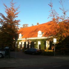
Abraham ten Catestraat 25, Borne
769 m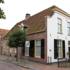
Marktstraat 4, Borne
680 m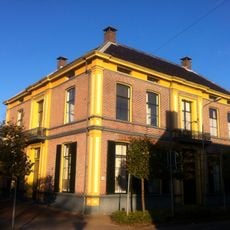
Grotestraat 120, Borne
727 m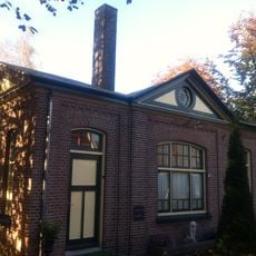
Stationsstraat 9, Borne
299 m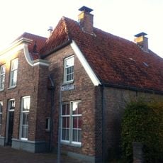
Aanbouw onder wolfsdak tegen het pand Markstraat 3
698 m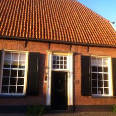
Marktstraat 27, Borne
789 m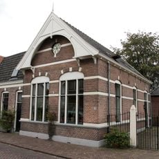
Former Jewish school
826 m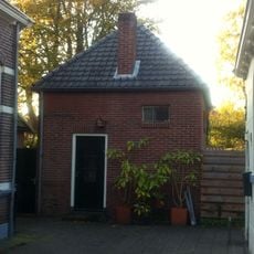
Eenvoudig vierkant ritueel badhuisje van bruine baksteen onder een met grijze friese pannen gedekt tentdak
826 m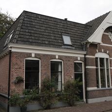
Ennekerdijk 13, Borne
824 m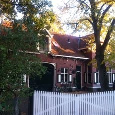
Oude Deldensestraat 21, Borne
426 mReviews
Visited this place? Tap the stars to rate it and share your experience / photos with the community! Try now! You can cancel it anytime.
Discover hidden gems everywhere you go!
From secret cafés to breathtaking viewpoints, skip the crowded tourist spots and find places that match your style. Our app makes it easy with voice search, smart filtering, route optimization, and insider tips from travelers worldwide. Download now for the complete mobile experience.

A unique approach to discovering new places❞
— Le Figaro
All the places worth exploring❞
— France Info
A tailor-made excursion in just a few clicks❞
— 20 Minutes