
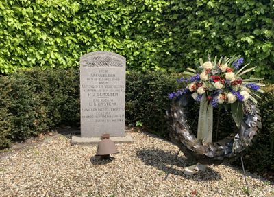
Monument aan de Bruins Slotlaan, war memorial in Nijkerk, the Netherlands
Location: Nijkerk
Inception: 1940
Official opening: June 6, 1940
Address: Bruins Slotlaan, 3861 KC, Nijkerk (Nijkerk), Gelderland, Nederland
GPS coordinates: 52.22844,5.48772
Latest update: April 2, 2025 17:28

Vetkamp 28, Nijkerk
467 m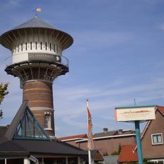
Watertoren
525 m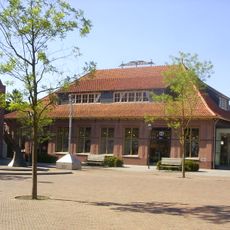
Eierhal van Nijkerk
602 m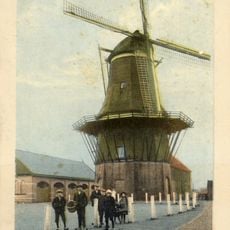
De Oostermolen
536 m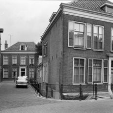
Catharinastraat 3, Nijkerk
645 m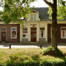
Koetsendijk 45, Nijkerk
500 m
Langestraat 41, Nijkerk
655 m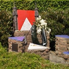
Joods monument
231 m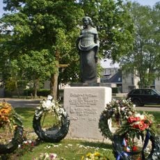
Monument 1940-1945
634 m
Verlaat 1, Nijkerk
632 m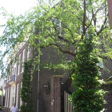
Langestraat 37, Nijkerk
659 m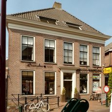
Langestraat 20, Nijkerk
656 m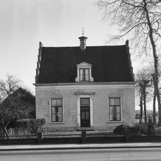
Vetkamp 23, Nijkerk
442 m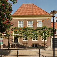
Kolkstraat 8, Nijkerk
490 m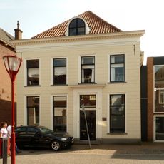
Langestraat 23, Nijkerk
679 m
Langestraat 43, Nijkerk
654 m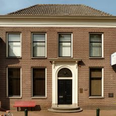
Langestraat 32, Nijkerk
633 m
Nieuwstraat 22-24, Nijkerk
604 m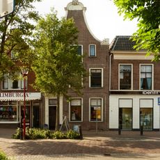
Pand met klokgevel
577 m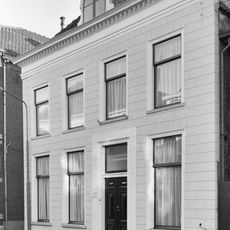
Pand onder schilddak en met in de 19e eeuw gepleisterde lijstgevel, die echter twee ankers uit de bouwtijd van het pand in de bovenhoeken bewaard heeft
664 m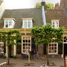
Langestraat 39, Nijkerk
655 m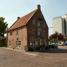
Westkadijk 2, Nijkerk
456 m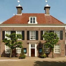
Town hall, Nijkerk
431 m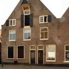
Kleterstraat 1-3, Nijkerk
659 m
Balustrade Catharinastraat
639 m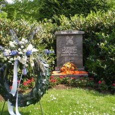
Indië-monument
596 m
Verzetsmonument
438 m
Tabakspakhuis
654 mVisited this place? Tap the stars to rate it and share your experience / photos with the community! Try now! You can cancel it anytime.
Discover hidden gems everywhere you go!
From secret cafés to breathtaking viewpoints, skip the crowded tourist spots and find places that match your style. Our app makes it easy with voice search, smart filtering, route optimization, and insider tips from travelers worldwide. Download now for the complete mobile experience.

A unique approach to discovering new places❞
— Le Figaro
All the places worth exploring❞
— France Info
A tailor-made excursion in just a few clicks❞
— 20 Minutes